Distance to Steele, North Dakota

Calculating Your Route
Just a moment while we process your request...
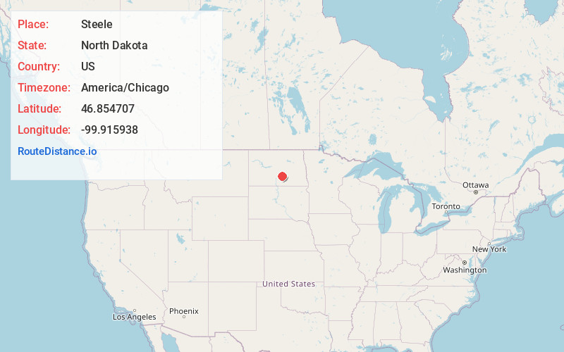
Location Information
-
Full AddressSteele, ND 58482
-
Coordinates46.8547065, -99.9159381
-
LocationSteele , North Dakota , US
-
TimezoneAmerica/Chicago
-
Current Local Time12:30:05 AM America/ChicagoFriday, June 20, 2025
-
Website
-
Page Views0
About Steele
Steele is a city and county seat of Kidder County, North Dakota, United States. The population was 665 at the 2020 census.


Nearby Places
Found 6 places within 50 miles

Lincoln
37.6 mi
60.5 km
Lincoln, ND 58504
Get directions

Bismarck
41.4 mi
66.6 km
Bismarck, ND
Get directions

Linton
43.3 mi
69.7 km
Linton, ND 58552
Get directions

Wishek
44.7 mi
71.9 km
Wishek, ND 58495
Get directions

Cannon Ball
45.5 mi
73.2 km
Cannon Ball, ND
Get directions

Mandan
46.1 mi
74.2 km
Mandan, ND 58554
Get directions
Location Links
Local Weather
Weather Information
Coming soon!
Location Map
Static map view of Steele, North Dakota
Browse Places by Distance
Places within specific distances from Steele
Short Distances
Long Distances
Click any distance to see all places within that range from Steele. Distances shown in miles (1 mile ≈ 1.61 kilometers).