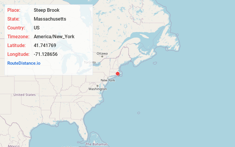
Distance to Steep Brook, Massachusetts

Calculating Your Route
Just a moment while we process your request...
Location Information
-
Full AddressSteep Brook, Fall River, MA 02720
-
Coordinates41.7417688, -71.1286557
-
LocationFall River , Massachusetts , US
-
TimezoneAmerica/New_York
-
Current Local Time2:40:56 PM America/New_YorkMonday, June 16, 2025
-
Page Views0
Nearby Places
Found 10 places within 50 miles

Somerset
1.9 mi
3.1 km
Somerset, MA
Get directions

Slades Ferry
2.1 mi
3.4 km
Slades Ferry, Fall River, MA 02720
Get directions

Fall River
3.1 mi
5.0 km
Fall River, MA
Get directions

Swansea
3.2 mi
5.1 km
Swansea, MA 02777
Get directions
South Swansea
4.2 mi
6.8 km
South Swansea, Swansea, MA 02777
Get directions

Westport
4.7 mi
7.6 km
Westport, MA
Get directions
Camp Welch
5.6 mi
9.0 km
Camp Welch, Freetown, MA 02702
Get directions
Eagleville
5.9 mi
9.5 km
Eagleville, Tiverton, RI 02878
Get directions

Freetown
6.1 mi
9.8 km
Freetown, MA
Get directions
North Swansea
7.2 mi
11.6 km
North Swansea, Swansea, MA 02777
Get directions
Location Links
Local Weather
Weather Information
Coming soon!
Location Map
Static map view of Steep Brook, Massachusetts
Browse Places by Distance
Places within specific distances from Steep Brook
Short Distances
Long Distances
Click any distance to see all places within that range from Steep Brook. Distances shown in miles (1 mile ≈ 1.61 kilometers).