Distance to Steiner, Michigan

Calculating Your Route
Just a moment while we process your request...
Location Information
-
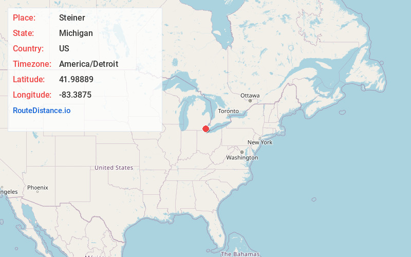
Full AddressSteiner, MI 48162
-
Coordinates41.98889, -83.3875
-
LocationSteiner , Michigan , US
-
TimezoneAmerica/Detroit
-
Current Local Time6:50:03 PM America/DetroitFriday, June 20, 2025
-
Page Views0
About Steiner
Steiner was a small farming settlement in what is now Frenchtown Charter Township, Monroe County in the U.S. state of Michigan. The village no longer exists but some structures remain and are in use. It was situated at the intersection of Steiner Road and Laduke Road near the current CSX Railroad crossing.
Nearby Places
Found 10 places within 50 miles

Frenchtown Township
1.8 mi
2.9 km
Frenchtown Township, MI
Get directions

Golfcrest
3.3 mi
5.3 km
Golfcrest, Frenchtown Township, MI 48162
Get directions
Grafton
3.3 mi
5.3 km
Grafton, Ash Township, MI 48117
Get directions

Woodland Beach
4.7 mi
7.6 km
Woodland Beach, MI 48162
Get directions
Detroit Beach
4.8 mi
7.7 km
Detroit Beach, MI 48162
Get directions

Carleton
4.9 mi
7.9 km
Carleton, MI 48117
Get directions

Monroe
5.0 mi
8.0 km
Monroe, MI
Get directions
West Monroe
5.1 mi
8.2 km
West Monroe, MI 48161
Get directions
Scofield
5.3 mi
8.5 km
Scofield, Exeter Township, MI 48159
Get directions
Patterson Gardens
5.3 mi
8.5 km
Patterson Gardens, West Monroe, MI 48161
Get directions
Location Links
Local Weather
Weather Information
Coming soon!
Location Map
Static map view of Steiner, Michigan
Browse Places by Distance
Places within specific distances from Steiner
Short Distances
Long Distances
Click any distance to see all places within that range from Steiner. Distances shown in miles (1 mile ≈ 1.61 kilometers).