Distance to Stella, Missouri

Calculating Your Route
Just a moment while we process your request...
Location Information
-
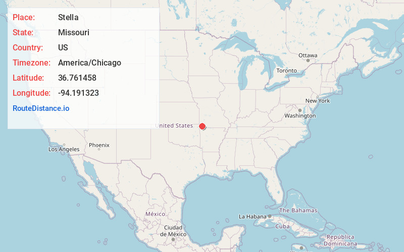
Full AddressStella, MO 64867
-
Coordinates36.7614583, -94.1913231
-
LocationStella , Missouri , US
-
TimezoneAmerica/Chicago
-
Current Local Time1:42:10 PM America/ChicagoThursday, June 5, 2025
-
Page Views0
About Stella
Stella is a village in southern Newton County, Missouri, United States. The population was 158 at the 2010 census. It is part of the Joplin, Missouri Metropolitan Statistical Area. The village of Stella is located 17 miles southeast of Neosho.


Nearby Places
Found 10 places within 50 miles

Fairview
6.9 mi
11.1 km
Fairview, MO 64842
Get directions

Wheaton
7.5 mi
12.1 km
Wheaton, MO
Get directions

Granby
11.5 mi
18.5 km
Granby, MO 64844
Get directions

Goodman
12.1 mi
19.5 km
Goodman, MO 64843
Get directions

Neosho
12.3 mi
19.8 km
Neosho, MO 64850
Get directions

Exeter
15.2 mi
24.5 km
Exeter, MO 65647
Get directions

Purdy
15.5 mi
24.9 km
Purdy, MO 65734
Get directions

Pineville
15.7 mi
25.3 km
Pineville, MO
Get directions
Butterfield
15.7 mi
25.3 km
Butterfield, MO
Get directions

Anderson
15.9 mi
25.6 km
Anderson, MO 64831
Get directions
Location Links
Local Weather
Weather Information
Coming soon!
Location Map
Static map view of Stella, Missouri
Browse Places by Distance
Places within specific distances from Stella
Short Distances
Long Distances
Click any distance to see all places within that range from Stella. Distances shown in miles (1 mile ≈ 1.61 kilometers).