Distance to Stephenson, West Virginia

Calculating Your Route
Just a moment while we process your request...
Location Information
-
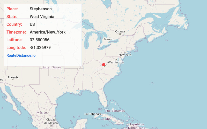
Full AddressStephenson, WV 25811
-
Coordinates37.5800558, -81.3269791
-
LocationStephenson , West Virginia , US
-
TimezoneAmerica/New_York
-
Current Local Time7:35:37 PM America/New_YorkFriday, June 20, 2025
-
Page Views0
About Stephenson
Stephenson is an unincorporated community in Wyoming County, West Virginia, United States. Part of the community was known as Devils Fork until 1935. The community was named after W. G. Stephenson, a mining official. Stephenson has a post office, with the ZIP code 25928.

Nearby Places
Found 10 places within 50 miles

Iroquois
0.8 mi
1.3 km
Iroquois, WV 25811
Get directions
Amigo
1.2 mi
1.9 km
Amigo, WV 25902
Get directions
Madeline
1.2 mi
1.9 km
Madeline, WV 25902
Get directions
Wyco
1.6 mi
2.6 km
Wyco, WV 25882
Get directions
Corinne
1.7 mi
2.7 km
Corinne, WV
Get directions
Rhodell
2.3 mi
3.7 km
Rhodell, WV 25915
Get directions

Mullens
2.9 mi
4.7 km
Mullens, WV 25882
Get directions
Basin
3.6 mi
5.8 km
Basin, WV 25811
Get directions
Helen
3.9 mi
6.3 km
Helen, WV
Get directions

Bud
4.1 mi
6.6 km
Bud, WV
Get directions
Location Links
Local Weather
Weather Information
Coming soon!
Location Map
Static map view of Stephenson, West Virginia
Browse Places by Distance
Places within specific distances from Stephenson
Short Distances
Long Distances
Click any distance to see all places within that range from Stephenson. Distances shown in miles (1 mile ≈ 1.61 kilometers).