Distance to Steptoe, Washington

Calculating Your Route
Just a moment while we process your request...
Location Information
-
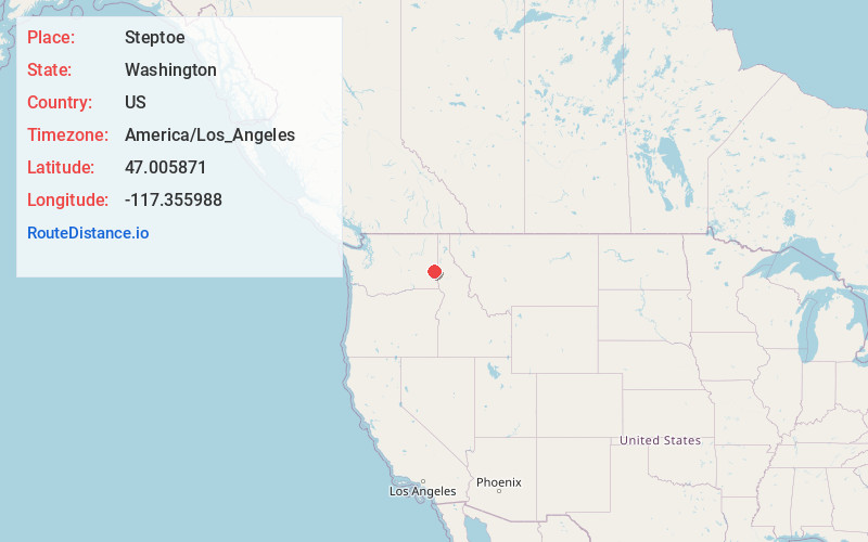
Full AddressSteptoe, WA 99111
-
Coordinates47.0058714, -117.3559883
-
LocationSteptoe , Washington , US
-
TimezoneAmerica/Los_Angeles
-
Current Local Time1:36:49 AM America/Los_AngelesFriday, May 30, 2025
-
Page Views0
About Steptoe
Steptoe is a small unincorporated rural town in Whitman County, Washington, United States. The ZIP Code for Steptoe is 99111.
A post office called Steptoe was established in 1875. The community is named after Colonel Edward Steptoe for a battle located north of Steptoe near Rosalia, Washington.


Nearby Places
Found 10 places within 50 miles

Colfax
8.7 mi
14.0 km
Colfax, WA 99111
Get directions

Oakesdale
10.0 mi
16.1 km
Oakesdale, WA 99158
Get directions

Garfield
10.1 mi
16.3 km
Garfield, WA 99130
Get directions

St John
12.2 mi
19.6 km
St John, WA 99171
Get directions

Palouse
14.8 mi
23.8 km
Palouse, WA 99161
Get directions

Albion
15.7 mi
25.3 km
Albion, WA
Get directions

Farmington
15.8 mi
25.4 km
Farmington, WA 99128
Get directions

Rosalia
15.9 mi
25.6 km
Rosalia, WA 99170
Get directions
Malden
16.4 mi
26.4 km
Malden, WA
Get directions

Endicott
16.4 mi
26.4 km
Endicott, WA 99125
Get directions
Location Links
Local Weather
Weather Information
Coming soon!
Location Map
Static map view of Steptoe, Washington
Browse Places by Distance
Places within specific distances from Steptoe
Short Distances
Long Distances
Click any distance to see all places within that range from Steptoe. Distances shown in miles (1 mile ≈ 1.61 kilometers).