Distance to Sterling, Georgia

Calculating Your Route
Just a moment while we process your request...
Location Information
-
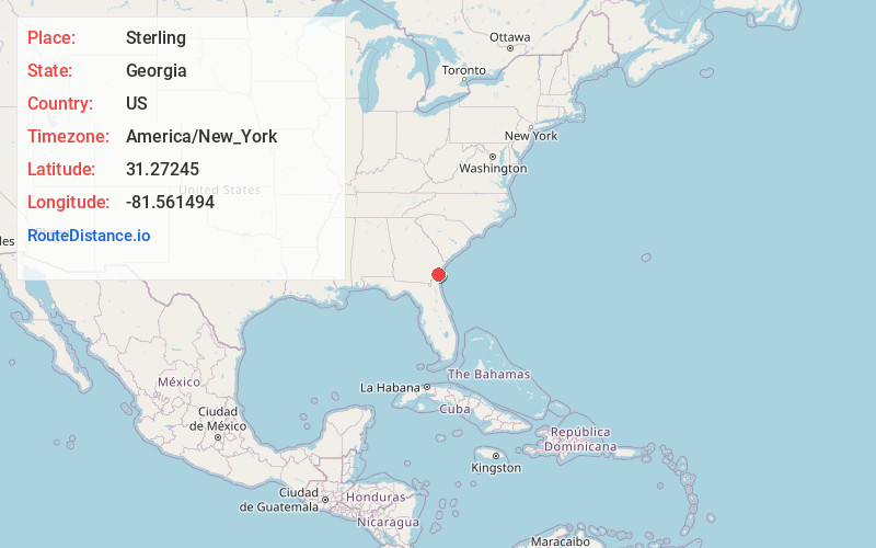
Full AddressSterling, GA
-
Coordinates31.2724496, -81.5614936
-
LocationSterling , Georgia , US
-
TimezoneAmerica/New_York
-
Current Local Time5:11:47 AM America/New_YorkThursday, June 12, 2025
-
Page Views0
About Sterling
Sterling is an unincorporated community and census-designated place in Glynn County, Georgia, United States, located on U.S. Route 341. Sterling consists of several small churches and general stores. It is included in the Brunswick, Georgia statistical area.
The 2020 census listed a population of 2,534.
Nearby Places
Found 10 places within 50 miles

Dock Junction
5.5 mi
8.9 km
Dock Junction, GA
Get directions

Brunswick
9.4 mi
15.1 km
Brunswick, GA
Get directions

St Simons Island
12.9 mi
20.8 km
St Simons Island, GA 31522
Get directions

Jesup
30.0 mi
48.3 km
Jesup, GA
Get directions

Ludowici
31.9 mi
51.3 km
Ludowici, GA 31316
Get directions

Kingsland
33.5 mi
53.9 km
Kingsland, GA
Get directions

Walthourville
34.9 mi
56.2 km
Walthourville, GA
Get directions

St Marys
36.2 mi
58.3 km
St Marys, GA
Get directions

Midway
37.6 mi
60.5 km
Midway, GA 31320
Get directions

Hinesville
38.8 mi
62.4 km
Hinesville, GA 31313
Get directions
Location Links
Local Weather
Weather Information
Coming soon!
Location Map
Static map view of Sterling, Georgia
Browse Places by Distance
Places within specific distances from Sterling
Short Distances
Long Distances
Click any distance to see all places within that range from Sterling. Distances shown in miles (1 mile ≈ 1.61 kilometers).