Distance to Sterlington, Louisiana

Calculating Your Route
Just a moment while we process your request...
Location Information
-
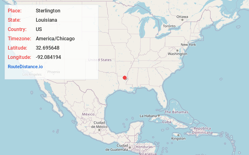
Full AddressSterlington, LA
-
Coordinates32.695648, -92.0841939
-
LocationSterlington , Louisiana , US
-
TimezoneAmerica/Chicago
-
Current Local Time9:07:37 AM America/ChicagoWednesday, June 18, 2025
-
Website
-
Page Views0
About Sterlington
Sterlington is a town in northern Ouachita Parish, Louisiana, United States, near the boundary with Union Parish. At the 2010 census, the population was 1,594. In the 2018 census estimates, the population rose to 2,724. In 2014, Sterlington was the fastest-growing community in Northeast Louisiana.


Nearby Places
Found 10 places within 50 miles

Swartz
10.5 mi
16.9 km
Swartz, LA 71203
Get directions

Lakeshore
11.4 mi
18.3 km
Lakeshore, LA 71203
Get directions

West Monroe
12.8 mi
20.6 km
West Monroe, LA
Get directions

Bastrop
13.0 mi
20.9 km
Bastrop, LA 71220
Get directions

Monroe
13.0 mi
20.9 km
Monroe, LA
Get directions

Claiborne
13.9 mi
22.4 km
Claiborne, LA 71291
Get directions

Brownsville-Bawcomville
14.8 mi
23.8 km
Brownsville-Bawcomville, LA 71292
Get directions
Richwood
17.1 mi
27.5 km
Richwood, LA 71202
Get directions

Farmerville
19.4 mi
31.2 km
Farmerville, LA 71241
Get directions

Rayville
24.4 mi
39.3 km
Rayville, LA 71269
Get directions
Location Links
Local Weather
Weather Information
Coming soon!
Location Map
Static map view of Sterlington, Louisiana
Browse Places by Distance
Places within specific distances from Sterlington
Short Distances
Long Distances
Click any distance to see all places within that range from Sterlington. Distances shown in miles (1 mile ≈ 1.61 kilometers).