Distance to Stevens Crossing, Georgia

Calculating Your Route
Just a moment while we process your request...
Location Information
-
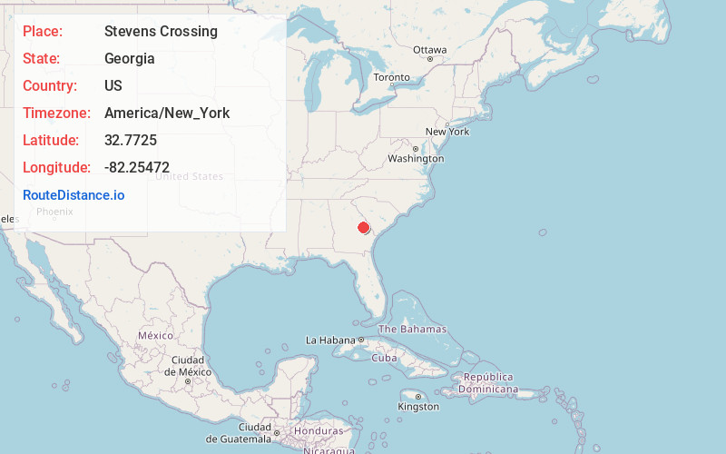
Full AddressStevens Crossing, GA 30441
-
Coordinates32.7725, -82.25472
-
LocationStevens Crossing , Georgia , US
-
TimezoneAmerica/New_York
-
Current Local Time10:06:21 PM America/New_YorkThursday, June 19, 2025
-
Page Views0
About Stevens Crossing
Stevens Crossing, is a small rural community in Emanuel County, Georgia, United States.
Nearby Places
Found 10 places within 50 miles

Summertown
2.2 mi
3.5 km
Summertown, GA
Get directions

Midville
3.4 mi
5.5 km
Midville, GA 30441
Get directions
Blun
5.5 mi
8.9 km
Blun, GA 30401
Get directions
Gertrude
5.6 mi
9.0 km
Gertrude, GA 30441
Get directions
Herndon
8.0 mi
12.9 km
Herndon, GA 30442
Get directions

Canoochee
8.2 mi
13.2 km
Canoochee, GA 30471
Get directions
Old Dellwood
9.7 mi
15.6 km
Old Dellwood, GA 30401
Get directions
Dellwood
10.2 mi
16.4 km
Dellwood, GA 30401
Get directions
Magruder
10.2 mi
16.4 km
Magruder, GA 30441
Get directions
Old Town
10.3 mi
16.6 km
Old Town, GA 30434
Get directions
Location Links
Local Weather
Weather Information
Coming soon!
Location Map
Static map view of Stevens Crossing, Georgia
Browse Places by Distance
Places within specific distances from Stevens Crossing
Short Distances
Long Distances
Click any distance to see all places within that range from Stevens Crossing. Distances shown in miles (1 mile ≈ 1.61 kilometers).