Distance to Stewart, Indiana

Calculating Your Route
Just a moment while we process your request...
Location Information
-
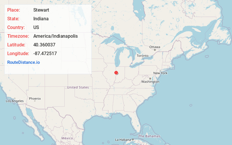
Full AddressStewart, Jordan Township, IN 47993
-
Coordinates40.3600365, -87.4725169
-
LocationJordan Township , Indiana , US
-
TimezoneAmerica/Indianapolis
-
Page Views0
About Stewart
Stewart is a small unincorporated community in Jordan Township, Warren County, in the U.S. state of Indiana. It sits at the south end of the short Bee Line Railroad and consists of a single residence and a grain elevator operated by the Stewart Grain Company.
Nearby Places
Found 10 places within 50 miles

Pence
2.0 mi
3.2 km
Pence, IN 47993
Get directions
Tab
3.7 mi
6.0 km
Tab, IN 47917
Get directions
Hedrick
4.1 mi
6.6 km
Hedrick, IN 47993
Get directions
Judyville
4.1 mi
6.6 km
Judyville, IN 47993
Get directions
Carbondale
6.6 mi
10.6 km
Carbondale, IN 47993
Get directions
Brisco
7.0 mi
11.3 km
Brisco, Pine Township, IN 47993
Get directions
Marshfield
7.6 mi
12.2 km
Marshfield, IN
Get directions
West Lebanon
7.7 mi
12.4 km
West Lebanon, IN 47991
Get directions
Alvin
8.0 mi
12.9 km
Alvin, IL 61811
Get directions
Old Town
8.4 mi
13.5 km
Old Town, Pike Township, IN 47991
Get directions
Location Links
Local Weather
Weather Information
Coming soon!
Location Map
Static map view of Stewart, Indiana
Browse Places by Distance
Places within specific distances from Stewart
Short Distances
Long Distances
Click any distance to see all places within that range from Stewart. Distances shown in miles (1 mile ≈ 1.61 kilometers).