Distance to Stewartstown, New Hampshire

Calculating Your Route
Just a moment while we process your request...
Location Information
-
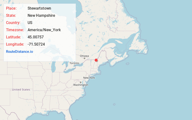
Full AddressStewartstown, NH 03576
-
Coordinates45.0075703, -71.5072399
-
LocationStewartstown , New Hampshire , US
-
TimezoneAmerica/New_York
-
Current Local Time4:36:07 PM America/New_YorkWednesday, June 18, 2025
-
Page Views0
About Stewartstown
Stewartstown is a town in Coös County, New Hampshire, United States. The population was 813 at the 2020 census, down from 1,004 at the 2010 census. It includes the village of West Stewartstown and is part of the Berlin, NH-VT Micropolitan Statistical Area.


Nearby Places
Found 10 places within 50 miles

Colebrook
7.8 mi
12.6 km
Colebrook, NH 03576
Get directions

Northumberland
28.3 mi
45.5 km
Northumberland, NH
Get directions

Derby
30.7 mi
49.4 km
Derby, VT
Get directions

Milan
33.9 mi
54.6 km
Milan, NH 03588
Get directions

Burke
34.5 mi
55.5 km
Burke, VT
Get directions

Newport
34.5 mi
55.5 km
Newport, VT 05855
Get directions

Lancaster
36.1 mi
58.1 km
Lancaster, NH
Get directions

Barton
37.3 mi
60.0 km
Barton, VT
Get directions

Lunenburg
38.6 mi
62.1 km
Lunenburg, VT
Get directions

Lyndon
40.1 mi
64.5 km
Lyndon, VT
Get directions
Location Links
Local Weather
Weather Information
Coming soon!
Location Map
Static map view of Stewartstown, New Hampshire
Browse Places by Distance
Places within specific distances from Stewartstown
Short Distances
Long Distances
Click any distance to see all places within that range from Stewartstown. Distances shown in miles (1 mile ≈ 1.61 kilometers).