Distance to Stickney, South Dakota

Calculating Your Route
Just a moment while we process your request...
Location Information
-
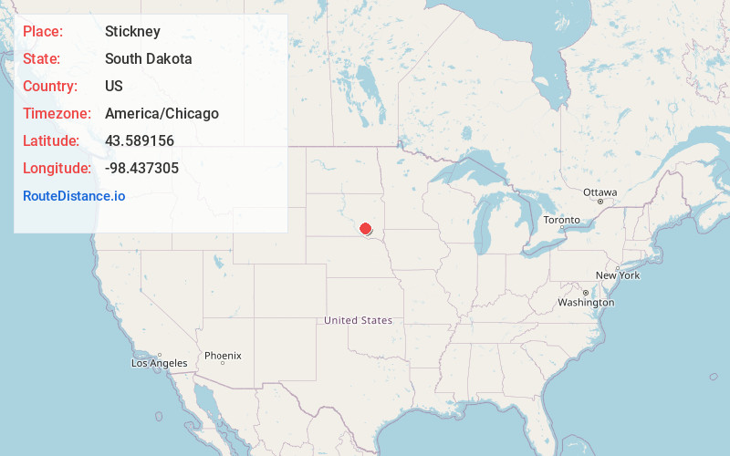
Full AddressStickney, SD 57375
-
Coordinates43.5891563, -98.4373047
-
LocationStickney , South Dakota , US
-
TimezoneAmerica/Chicago
-
Current Local Time3:45:58 AM America/ChicagoWednesday, June 18, 2025
-
Page Views0
About Stickney
Stickney is a town in Aurora County, South Dakota, United States. The population was 321 at the 2020 census.
Nearby Places
Found 10 places within 50 miles

Plankinton
9.1 mi
14.6 km
Plankinton, SD 57368
Get directions

Corsica
11.4 mi
18.3 km
Corsica, SD 57328
Get directions

Mt Vernon
12.2 mi
19.6 km
Mt Vernon, SD 57363
Get directions

White Lake
16.9 mi
27.2 km
White Lake, SD 57383
Get directions

Armour
19.2 mi
30.9 km
Armour, SD 57313
Get directions

Mitchell
22.0 mi
35.4 km
Mitchell, SD 57301
Get directions

Ethan
22.8 mi
36.7 km
Ethan, SD 57334
Get directions

Platte
24.7 mi
39.8 km
Platte, SD 57369
Get directions

Parkston
26.3 mi
42.3 km
Parkston, SD 57366
Get directions
Kimball
28.2 mi
45.4 km
Kimball, SD 57355
Get directions
Location Links
Local Weather
Weather Information
Coming soon!
Location Map
Static map view of Stickney, South Dakota
Browse Places by Distance
Places within specific distances from Stickney
Short Distances
Long Distances
Click any distance to see all places within that range from Stickney. Distances shown in miles (1 mile ≈ 1.61 kilometers).