Distance to Stier, Pennsylvania

Calculating Your Route
Just a moment while we process your request...
Location Information
-
Full AddressStier, Upper Mt Bethel Township, PA 18013
-
Coordinates40.8981517, -75.1529555
-
LocationUpper Mt Bethel Township , Pennsylvania , US
-
TimezoneAmerica/New_York
-
Current Local Time1:40:00 AM America/New_YorkFriday, June 20, 2025
-
Page Views0
Nearby Places
Found 10 places within 50 miles

East Bangor
2.1 mi
3.4 km
East Bangor, PA 18013
Get directions

Bear Swamp
2.2 mi
3.5 km
Bear Swamp, Upper Mt Bethel Township, PA 18013
Get directions

Portland
3.4 mi
5.5 km
Portland, PA
Get directions

Roseto
3.4 mi
5.5 km
Roseto, PA 18013
Get directions

Bangor
3.6 mi
5.8 km
Bangor, PA 18013
Get directions

Knowlton Township
4.4 mi
7.1 km
Knowlton Township, NJ
Get directions
West Bangor
4.7 mi
7.6 km
West Bangor, PA 18072
Get directions
Gruvertown
5.2 mi
8.4 km
Gruvertown, PA 18013
Get directions
Ackermanville
5.3 mi
8.5 km
Ackermanville, PA
Get directions

Delaware Water Gap
5.6 mi
9.0 km
Delaware Water Gap, PA
Get directions
Location Links
Local Weather
Weather Information
Coming soon!
Location Map
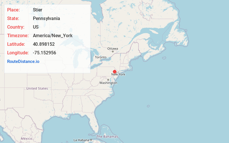
Static map view of Stier, Pennsylvania
Browse Places by Distance
Places within specific distances from Stier
Short Distances
Long Distances
Click any distance to see all places within that range from Stier. Distances shown in miles (1 mile ≈ 1.61 kilometers).