Distance to Still Pond, Maryland

Calculating Your Route
Just a moment while we process your request...
Location Information
-
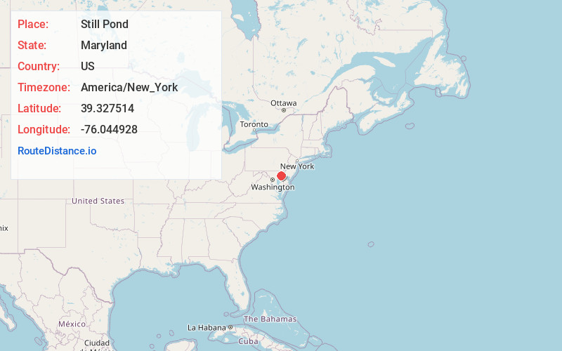
Full AddressStill Pond, MD 21667
-
Coordinates39.327514, -76.0449276
-
LocationStill Pond , Maryland , US
-
TimezoneAmerica/New_York
-
Current Local Time1:02:54 AM America/New_YorkSunday, June 1, 2025
-
Page Views0
About Still Pond
Still Pond is a census-designated place in Kent County, Maryland, United States. Still Pond is located at the intersection of Maryland routes 292 and 566 on Still Pond Neck, south-southeast of Betterton and north of Chestertown.
Nearby Places
Found 10 places within 50 miles

Betterton
2.8 mi
4.5 km
Betterton, MD 21610
Get directions
Kennedyville
3.1 mi
5.0 km
Kennedyville, MD 21645
Get directions

Chestertown
7.6 mi
12.2 km
Chestertown, MD 21620
Get directions

Kingstown
8.5 mi
13.7 km
Kingstown, MD 21620
Get directions

Crumpton
8.9 mi
14.3 km
Crumpton, MD
Get directions
Galena
8.9 mi
14.3 km
Galena, MD 21635
Get directions
Fairlee
10.0 mi
16.1 km
Fairlee, MD 21620
Get directions

Aberdeen Proving Ground
10.2 mi
16.4 km
Aberdeen Proving Ground, MD 21005
Get directions

Cecilton
10.9 mi
17.5 km
Cecilton, MD
Get directions

Millington
12.1 mi
19.5 km
Millington, MD
Get directions
Location Links
Local Weather
Weather Information
Coming soon!
Location Map
Static map view of Still Pond, Maryland
Browse Places by Distance
Places within specific distances from Still Pond
Short Distances
Long Distances
Click any distance to see all places within that range from Still Pond. Distances shown in miles (1 mile ≈ 1.61 kilometers).