Distance to Stockport, Iowa

Calculating Your Route
Just a moment while we process your request...
Location Information
-
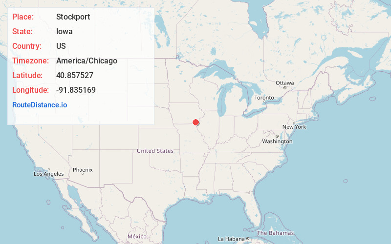
Full AddressStockport, IA 52651
-
Coordinates40.8575265, -91.8351687
-
LocationStockport , Iowa , US
-
TimezoneAmerica/Chicago
-
Current Local Time7:36:21 PM America/ChicagoSaturday, June 14, 2025
-
Page Views0
About Stockport
Stockport is a city in Van Buren County, Iowa, United States. The population was 272 at the time of the 2020 census.
Nearby Places
Found 10 places within 50 miles

Birmingham
6.0 mi
9.7 km
Birmingham, IA
Get directions

Lockridge
10.5 mi
16.9 km
Lockridge, IA 52635
Get directions

Keosauqua
11.0 mi
17.7 km
Keosauqua, IA 52565
Get directions

Bonaparte
11.1 mi
17.9 km
Bonaparte, IA 52620
Get directions

Salem
11.2 mi
18.0 km
Salem, IA 52649
Get directions

Libertyville
13.2 mi
21.2 km
Libertyville, IA 52567
Get directions
Farmington
15.8 mi
25.4 km
Farmington, IA 52626
Get directions

Maharishi Vedic City
15.8 mi
25.4 km
Maharishi Vedic City, IA 52556
Get directions

Mt Pleasant
16.9 mi
27.2 km
Mt Pleasant, IA 52641
Get directions

Cantril
19.2 mi
30.9 km
Cantril, IA 52542
Get directions
Location Links
Local Weather
Weather Information
Coming soon!
Location Map
Static map view of Stockport, Iowa
Browse Places by Distance
Places within specific distances from Stockport
Short Distances
Long Distances
Click any distance to see all places within that range from Stockport. Distances shown in miles (1 mile ≈ 1.61 kilometers).