Distance to Stockton, New Jersey

Calculating Your Route
Just a moment while we process your request...
Location Information
-
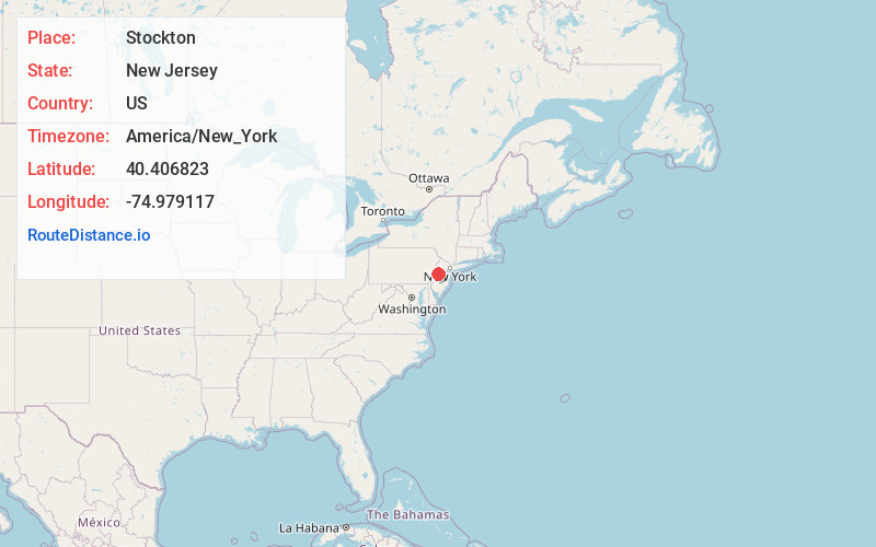
Full AddressStockton, NJ 08559
-
Coordinates40.4068232, -74.9791173
-
LocationStockton , New Jersey , US
-
TimezoneAmerica/New_York
-
Current Local Time7:30:17 AM America/New_YorkTuesday, June 3, 2025
-
Page Views0
About Stockton
Stockton is a borough in Hunterdon County, in the U.S. state of New Jersey. The borough sits on the Delaware River at the western end of Amwell Valley.


Nearby Places
Found 10 places within 50 miles

Delaware Township
3.3 mi
5.3 km
Delaware Township, NJ
Get directions

New Hope
3.3 mi
5.3 km
New Hope, PA 18938
Get directions

Lambertville
3.4 mi
5.5 km
Lambertville, NJ 08530
Get directions

West Amwell Township
3.9 mi
6.3 km
West Amwell Township, NJ
Get directions

Kingwood
4.9 mi
7.9 km
Kingwood, NJ
Get directions

East Amwell Township
6.8 mi
10.9 km
East Amwell Township, NJ
Get directions

Buckingham
7.1 mi
11.4 km
Buckingham, PA 18912
Get directions
Tinicum
7.3 mi
11.7 km
Tinicum, PA 18947
Get directions
Plumsteadville
8.9 mi
14.3 km
Plumsteadville, PA
Get directions

Frenchtown
9.3 mi
15.0 km
Frenchtown, NJ 08825
Get directions
Location Links
Local Weather
Weather Information
Coming soon!
Location Map
Static map view of Stockton, New Jersey
Browse Places by Distance
Places within specific distances from Stockton
Short Distances
Long Distances
Click any distance to see all places within that range from Stockton. Distances shown in miles (1 mile ≈ 1.61 kilometers).