Distance to Stone Mountain State Park, North Carolina

Calculating Your Route
Just a moment while we process your request...
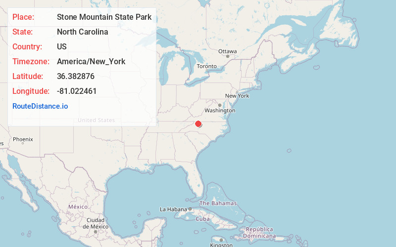
Location Information
-
Full AddressStone Mountain State Park, 3042 Frank Pkwy, Roaring Gap, NC 28668
-
Coordinates36.3828761, -81.0224605
-
Street3042 Frank Pkwy
-
LocationRoaring Gap , North Carolina , US
-
TimezoneAmerica/New_York
-
Current Local Time9:30:50 PM America/New_YorkFriday, June 6, 2025
-
Page Views0
About Stone Mountain State Park
14,000 acres of parkland around a scenic granite dome, offering fishing, hiking, climbing & camping.


Nearby Places
Found 10 places within 50 miles

High Meadows Estates
1.9 mi
3.1 km
High Meadows Estates, NC 28668
Get directions

Roaring Gap
2.5 mi
4.0 km
Roaring Gap, NC 28668
Get directions

Traphill
2.6 mi
4.2 km
Traphill, NC 28685
Get directions
Joynes
2.6 mi
4.2 km
Joynes, NC 28685
Get directions

Doughton
3.7 mi
6.0 km
Doughton, NC 28683
Get directions
Cherry Lane
4.1 mi
6.6 km
Cherry Lane, NC 28627
Get directions
Austin
4.8 mi
7.7 km
Austin, NC 28621
Get directions
Abshers
5.0 mi
8.0 km
Abshers, NC 28635
Get directions
Thurmond
5.4 mi
8.7 km
Thurmond, NC 28683
Get directions
Moxley
5.4 mi
8.7 km
Moxley, NC 28685
Get directions
Location Links
Local Weather
Weather Information
Coming soon!
Location Map
Static map view of Stone Mountain State Park, North Carolina
Browse Places by Distance
Places within specific distances from Stone Mountain State Park
Short Distances
Long Distances
Click any distance to see all places within that range from Stone Mountain State Park. Distances shown in miles (1 mile ≈ 1.61 kilometers).