Distance to Stone Row, Pennsylvania

Calculating Your Route
Just a moment while we process your request...
Location Information
-
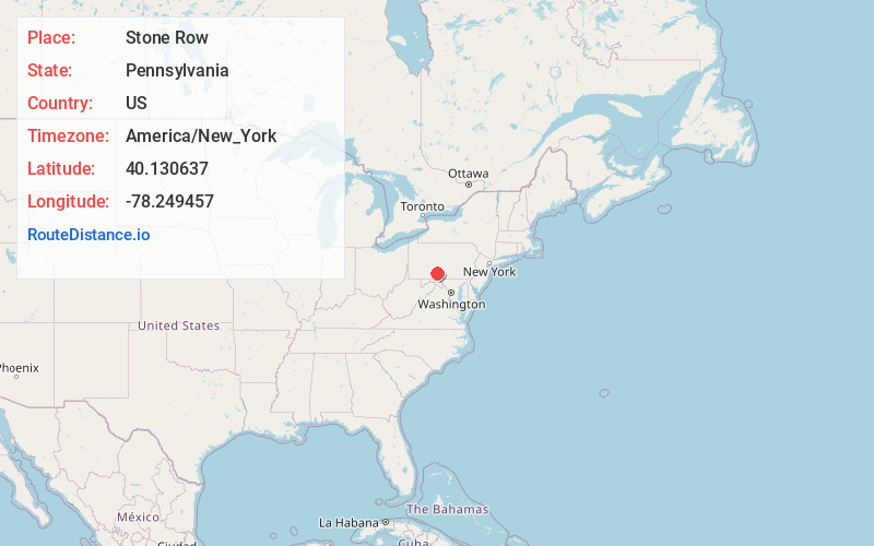
Full AddressStone Row, Broad Top Township, PA 16650
-
Coordinates40.1306366, -78.2494566
-
LocationBroad Top Township , Pennsylvania , US
-
TimezoneAmerica/New_York
-
Current Local Time9:08:48 AM America/New_YorkMonday, June 23, 2025
-
Page Views0
Nearby Places
Found 10 places within 50 miles

Kearney
1.6 mi
2.6 km
Kearney, Broad Top Township, PA 16679
Get directions
Riddlesburg
2.2 mi
3.5 km
Riddlesburg, PA
Get directions
Defiance
2.4 mi
3.9 km
Defiance, PA
Get directions
Eichelbergertown
2.6 mi
4.2 km
Eichelbergertown, Hopewell Township, PA 16650
Get directions
Marble City
3.2 mi
5.1 km
Marble City, Hopewell Township, PA 16650
Get directions
Round Knob
3.3 mi
5.3 km
Round Knob, Broad Top Township, PA 16679
Get directions
Cypher
4.2 mi
6.8 km
Cypher, Hopewell Township, PA 16650
Get directions
Yellow Creek
4.3 mi
6.9 km
Yellow Creek, PA 16650
Get directions
Wells Tannery
5.2 mi
8.4 km
Wells Tannery, PA 16691
Get directions

Saxton
5.9 mi
9.5 km
Saxton, PA 16678
Get directions
Location Links
Local Weather
Weather Information
Coming soon!
Location Map
Static map view of Stone Row, Pennsylvania
Browse Places by Distance
Places within specific distances from Stone Row
Short Distances
Long Distances
Click any distance to see all places within that range from Stone Row. Distances shown in miles (1 mile ≈ 1.61 kilometers).