Distance to Stoner Place, Montana

Calculating Your Route
Just a moment while we process your request...
Location Information
-
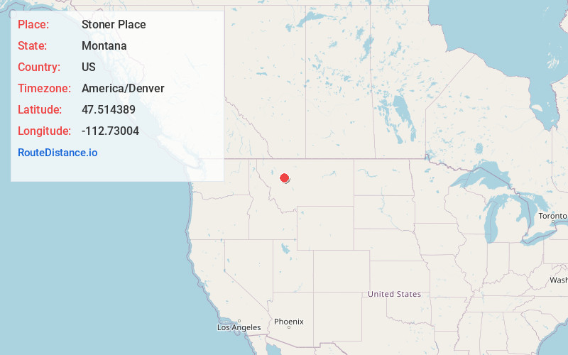
Full AddressStoner Place, MT 59422
-
Coordinates47.5143887, -112.7300398
-
LocationStoner Place , Montana , US
-
TimezoneAmerica/Denver
-
Current Local Time12:22:18 PM America/DenverThursday, June 12, 2025
-
Page Views0
Nearby Places
Found 10 places within 50 miles

Split Rock Junction
12.7 mi
20.4 km
Split Rock Junction, MT 59410
Get directions

Augusta
15.8 mi
25.4 km
Augusta, MT
Get directions
Gilman
17.0 mi
27.4 km
Gilman, MT 59436
Get directions
Saypo
21.7 mi
34.9 km
Saypo, MT 59422
Get directions
Upper Ellis Place
22.9 mi
36.9 km
Upper Ellis Place, MT 59648
Get directions
Golden Ridge
23.8 mi
38.3 km
Golden Ridge, MT 59436
Get directions
La Chapelle Place
23.8 mi
38.3 km
La Chapelle Place, MT 59648
Get directions
Lower Ellis Place
26.0 mi
41.8 km
Lower Ellis Place, MT 59648
Get directions
Riebeling
27.1 mi
43.6 km
Riebeling, MT 59436
Get directions
Milford Colony
27.5 mi
44.3 km
Milford Colony, MT 59648
Get directions
Location Links
Local Weather
Weather Information
Coming soon!
Location Map
Static map view of Stoner Place, Montana
Browse Places by Distance
Places within specific distances from Stoner Place
Short Distances
Long Distances
Click any distance to see all places within that range from Stoner Place. Distances shown in miles (1 mile ≈ 1.61 kilometers).