Distance to Stones Landing, California

Calculating Your Route
Just a moment while we process your request...
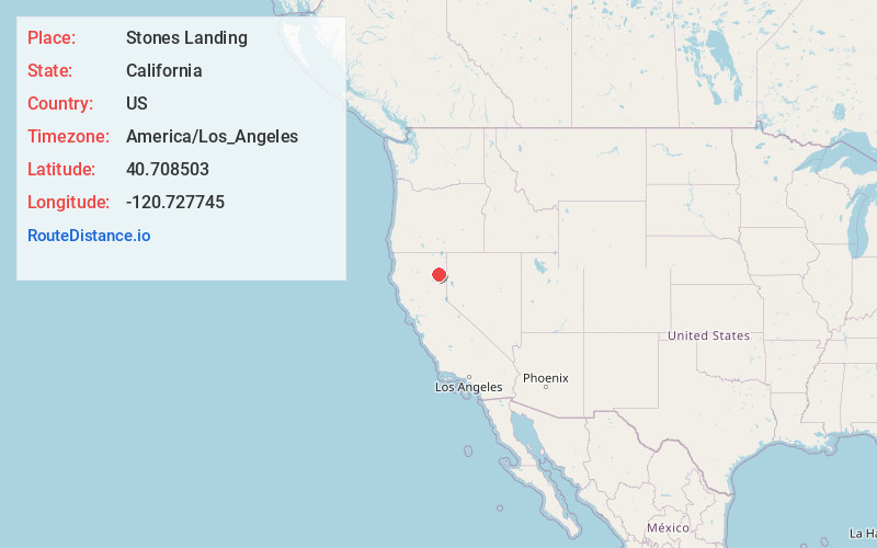
Location Information
-
Full AddressStones Landing, CA 96130
-
Coordinates40.7085025, -120.7277448
-
LocationStones Landing , California , US
-
TimezoneAmerica/Los_Angeles
-
Current Local Time4:32:27 AM America/Los_AngelesThursday, May 29, 2025
-
Page Views0
About Stones Landing
Stones Landing is an unincorporated community and census-designated place in Lassen County, California. It lies at an elevation of 5,118 feet. Its population is 86 as of the 2020 census.
Nearby Places
Found 10 places within 50 miles

Susanville
20.6 mi
33.2 km
Susanville, CA
Get directions

Johnstonville
23.8 mi
38.3 km
Johnstonville, CA 96130
Get directions

Janesville
31.0 mi
49.9 km
Janesville, CA
Get directions

Westwood
31.4 mi
50.5 km
Westwood, CA 96137
Get directions

Clear Creek
33.0 mi
53.1 km
Clear Creek, CA 96137
Get directions

Hamilton Branch
35.5 mi
57.1 km
Hamilton Branch, CA 96137
Get directions

Bieber
36.1 mi
58.1 km
Bieber, CA
Get directions

East Shore
37.4 mi
60.2 km
East Shore, CA 96137
Get directions

Chester
38.4 mi
61.8 km
Chester, CA 96020
Get directions

Greenville
41.0 mi
66.0 km
Greenville, CA 95947
Get directions
Location Links
Local Weather
Weather Information
Coming soon!
Location Map
Static map view of Stones Landing, California
Browse Places by Distance
Places within specific distances from Stones Landing
Short Distances
Long Distances
Click any distance to see all places within that range from Stones Landing. Distances shown in miles (1 mile ≈ 1.61 kilometers).