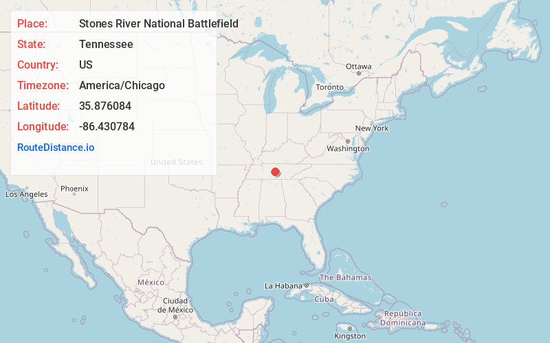
Distance to Stones River National Battlefield, Tennessee

Calculating Your Route
Just a moment while we process your request...
Location Information
-
Full AddressStones River National Battlefield, 3501 Old Nashville Hwy, Murfreesboro, TN 37129
-
Coordinates35.8760842, -86.4307835
-
Street3501 Old Nashville Hwy
-
LocationMurfreesboro , Tennessee , US
-
TimezoneAmerica/Chicago
-
Current Local Time9:17:12 PM America/ChicagoWednesday, May 28, 2025
-
Website
-
Page Views0
About Stones River National Battlefield
Historic 570-acre park & cemetery with a visitor center & marked trails along Civil War battlefield.


Nearby Places
Found 10 places within 50 miles

Murfreesboro
2.9 mi
4.7 km
Murfreesboro, TN
Get directions

Blackman
3.8 mi
6.1 km
Blackman, TN 37129
Get directions
Leanna
4.3 mi
6.9 km
Leanna, TN 37129
Get directions
Creekwood
5.1 mi
8.2 km
Creekwood, TN 37128
Get directions
Yearwood Addition
5.1 mi
8.2 km
Yearwood Addition, TN 37130
Get directions
Salem
5.3 mi
8.5 km
Salem, TN 37128
Get directions
Little Hope
5.4 mi
8.7 km
Little Hope, TN 37129
Get directions

Walterhill
5.9 mi
9.5 km
Walterhill, TN
Get directions
Compton
6.0 mi
9.7 km
Compton, TN 37130
Get directions
Aberdeen Park
6.2 mi
10.0 km
Aberdeen Park, TN 37167
Get directions
Location Links
Local Weather
Weather Information
Coming soon!
Location Map
Static map view of Stones River National Battlefield, Tennessee
Browse Places by Distance
Places within specific distances from Stones River National Battlefield
Short Distances
Long Distances
Click any distance to see all places within that range from Stones River National Battlefield. Distances shown in miles (1 mile ≈ 1.61 kilometers).