Distance to Stonewall, North Carolina

Calculating Your Route
Just a moment while we process your request...
Location Information
-
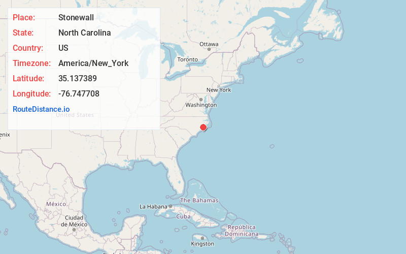
Full AddressStonewall, NC
-
Coordinates35.1373893, -76.7477081
-
LocationStonewall , North Carolina , US
-
TimezoneAmerica/New_York
-
Current Local Time5:25:58 AM America/New_YorkWednesday, June 18, 2025
-
Page Views0
About Stonewall
Stonewall is a town in Pamlico County, North Carolina, United States. The population was 281 at the 2010 census. It is part of the New Bern, North Carolina Micropolitan Statistical Area.
Nearby Places
Found 10 places within 50 miles

Bayboro
1.3 mi
2.1 km
Bayboro, NC 28515
Get directions

Alliance
3.1 mi
5.0 km
Alliance, NC
Get directions

Grantsboro
5.4 mi
8.7 km
Grantsboro, NC
Get directions

Oriental
8.0 mi
12.9 km
Oriental, NC 28571
Get directions

Arapahoe
8.9 mi
14.3 km
Arapahoe, NC
Get directions

Aurora
11.8 mi
19.0 km
Aurora, NC 27806
Get directions

Fairfield Harbour
12.9 mi
20.8 km
Fairfield Harbour, NC 28560
Get directions

Bridgeton
15.5 mi
24.9 km
Bridgeton, NC
Get directions

Neuse Forest
16.4 mi
26.4 km
Neuse Forest, NC 28560
Get directions

James City
16.6 mi
26.7 km
James City, NC
Get directions
Location Links
Local Weather
Weather Information
Coming soon!
Location Map
Static map view of Stonewall, North Carolina
Browse Places by Distance
Places within specific distances from Stonewall
Short Distances
Long Distances
Click any distance to see all places within that range from Stonewall. Distances shown in miles (1 mile ≈ 1.61 kilometers).