Distance to Stonewall, Texas

Calculating Your Route
Just a moment while we process your request...
Location Information
-
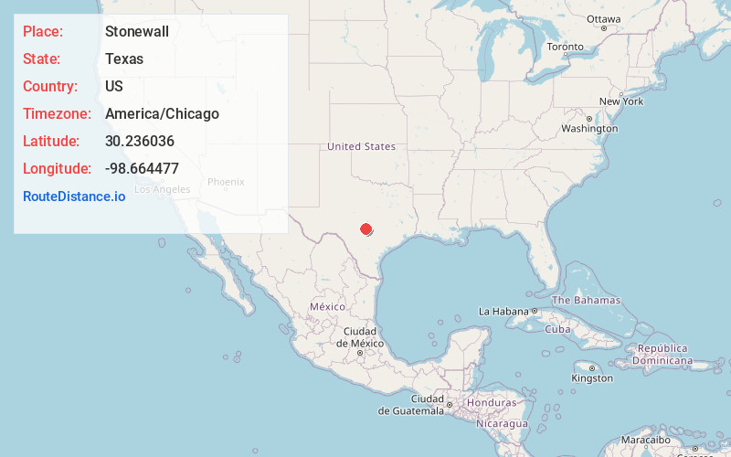
Full AddressStonewall, TX
-
Coordinates30.2360359, -98.6644769
-
LocationStonewall , Texas , US
-
TimezoneAmerica/Chicago
-
Current Local Time8:34:25 PM America/ChicagoFriday, June 6, 2025
-
Page Views0
About Stonewall
Stonewall is an unincorporated community and census-designated place in Gillespie County, Texas, United States. The population was 451 at the 2020 census. It was named for Confederate General Thomas J. Jackson, by Israel P. Nunez, who established a stage station near the site in 1870.


Nearby Places
Found 10 places within 50 miles

Fredericksburg
12.8 mi
20.6 km
Fredericksburg, TX 78624
Get directions

Johnson City
15.3 mi
24.6 km
Johnson City, TX 78636
Get directions

Blanco
17.4 mi
28.0 km
Blanco, TX 78606
Get directions

Comfort
23.5 mi
37.8 km
Comfort, TX 78013
Get directions

Sunrise Beach Village
29.3 mi
47.2 km
Sunrise Beach Village, TX 78643
Get directions

Granite Shoals
29.5 mi
47.5 km
Granite Shoals, TX 78654
Get directions

Center Point
29.8 mi
48.0 km
Center Point, TX
Get directions

Boerne
30.8 mi
49.6 km
Boerne, TX
Get directions

Kerrville
31.3 mi
50.4 km
Kerrville, TX 78028
Get directions

Meadowlakes
31.5 mi
50.7 km
Meadowlakes, TX 78654
Get directions
Location Links
Local Weather
Weather Information
Coming soon!
Location Map
Static map view of Stonewall, Texas
Browse Places by Distance
Places within specific distances from Stonewall
Short Distances
Long Distances
Click any distance to see all places within that range from Stonewall. Distances shown in miles (1 mile ≈ 1.61 kilometers).