Distance to Stoney Hill, Ohio

Calculating Your Route
Just a moment while we process your request...
Location Information
-
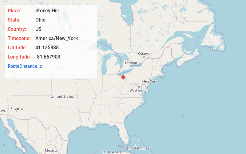
Full AddressStoney Hill, Copley Township, OH 44321
-
Coordinates41.1358881, -81.6679032
-
LocationCopley Township , Ohio , US
-
TimezoneAmerica/New_York
-
Current Local Time8:01:34 AM America/New_YorkFriday, May 30, 2025
-
Page Views0
Nearby Places
Found 10 places within 50 miles

Montrose
1.2 mi
1.9 km
Montrose, OH
Get directions

Montrose-Ghent
1.5 mi
2.4 km
Montrose-Ghent, OH
Get directions
Pigeon Creek
1.7 mi
2.7 km
Pigeon Creek, OH 44321
Get directions
Coddingville
1.9 mi
3.1 km
Coddingville, Granger Township, OH 44256
Get directions

Bath Township
2.8 mi
4.5 km
Bath Township, OH
Get directions

Fairlawn
3.1 mi
5.0 km
Fairlawn, OH
Get directions
Granger
3.6 mi
5.8 km
Granger, OH 44256
Get directions

Copley Township
3.7 mi
6.0 km
Copley Township, OH
Get directions

Sharon Center
4.3 mi
6.9 km
Sharon Center, OH
Get directions
Botzum
5.2 mi
8.4 km
Botzum, Cuyahoga Falls, OH 44313
Get directions
Location Links
Local Weather
Weather Information
Coming soon!
Location Map
Static map view of Stoney Hill, Ohio
Browse Places by Distance
Places within specific distances from Stoney Hill
Short Distances
Long Distances
Click any distance to see all places within that range from Stoney Hill. Distances shown in miles (1 mile ≈ 1.61 kilometers).