Distance to Stony Knoll, North Carolina

Calculating Your Route
Just a moment while we process your request...
Location Information
-
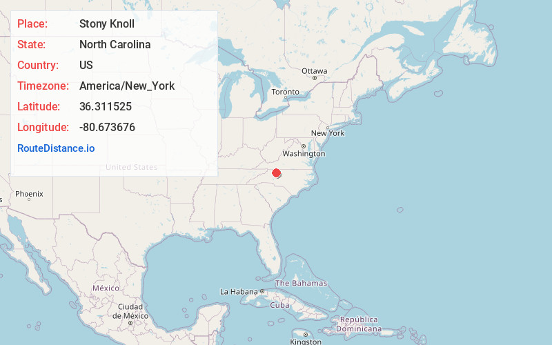
Full AddressStony Knoll, NC 27017
-
Coordinates36.3115247, -80.6736757
-
LocationStony Knoll , North Carolina , US
-
TimezoneAmerica/New_York
-
Current Local Time12:49:41 AM America/New_YorkMonday, June 30, 2025
-
Page Views0
About Stony Knoll
Stony Knoll is an unincorporated community in the Rockford Township of Surry County, North Carolina, United States.
Nearby Places
Found 10 places within 50 miles

Burch
5.6 mi
9.0 km
Burch, NC 28621
Get directions

Boonville
5.8 mi
9.3 km
Boonville, NC 27011
Get directions

Dobson
6.4 mi
10.3 km
Dobson, NC
Get directions
Smithtown
7.5 mi
12.1 km
Smithtown, NC 27018
Get directions
White Plains
9.5 mi
15.3 km
White Plains, NC 27030
Get directions

Jonesville
10.7 mi
17.2 km
Jonesville, NC 28642
Get directions

Elkin
10.8 mi
17.4 km
Elkin, NC
Get directions

East Bend
11.1 mi
17.9 km
East Bend, NC 27018
Get directions
Pleasant Ridge
11.9 mi
19.2 km
Pleasant Ridge, NC 28676
Get directions

Yadkinville
12.3 mi
19.8 km
Yadkinville, NC 27055
Get directions
Location Links
Local Weather
Weather Information
Coming soon!
Location Map
Static map view of Stony Knoll, North Carolina
Browse Places by Distance
Places within specific distances from Stony Knoll
Short Distances
Long Distances
Click any distance to see all places within that range from Stony Knoll. Distances shown in miles (1 mile ≈ 1.61 kilometers).