Distance to Stony Point, Michigan

Calculating Your Route
Just a moment while we process your request...
Location Information
-
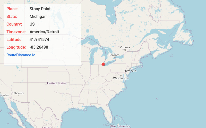
Full AddressStony Point, MI 48166
-
Coordinates41.941574, -83.2649804
-
LocationStony Point , Michigan , US
-
TimezoneAmerica/Detroit
-
Current Local Time10:49:24 PM America/DetroitWednesday, June 18, 2025
-
Page Views0
About Stony Point
Stony Point is an unincorporated community and census-designated place in Monroe County in the U.S. state of Michigan. The population was 1,784 at the 2020 census. The CDP is located within Frenchtown Charter Township.
Nearby Places
Found 10 places within 50 miles

Woodland Beach
2.8 mi
4.5 km
Woodland Beach, MI 48162
Get directions

Detroit Beach
3.3 mi
5.3 km
Detroit Beach, MI 48162
Get directions

Monroe
7.0 mi
11.3 km
Monroe, MI
Get directions
South Monroe
8.3 mi
13.4 km
South Monroe, MI 48161
Get directions

South Rockwood
8.4 mi
13.5 km
South Rockwood, MI
Get directions
West Monroe
8.5 mi
13.7 km
West Monroe, MI 48161
Get directions

Rockwood
9.0 mi
14.5 km
Rockwood, MI 48173
Get directions

Carleton
10.4 mi
16.7 km
Carleton, MI 48117
Get directions

Flat Rock
10.8 mi
17.4 km
Flat Rock, MI
Get directions

Gibraltar
11.3 mi
18.2 km
Gibraltar, MI
Get directions
Location Links
Local Weather
Weather Information
Coming soon!
Location Map
Static map view of Stony Point, Michigan
Browse Places by Distance
Places within specific distances from Stony Point
Short Distances
Long Distances
Click any distance to see all places within that range from Stony Point. Distances shown in miles (1 mile ≈ 1.61 kilometers).