Distance to Stowe, Vermont

Calculating Your Route
Just a moment while we process your request...
Location Information
-
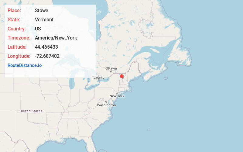
Full AddressStowe, VT 05672
-
Coordinates44.4654332, -72.6874023
-
LocationStowe , Vermont , US
-
TimezoneAmerica/New_York
-
Current Local Time8:05:48 AM America/New_YorkWednesday, June 18, 2025
-
Page Views0
About Stowe
Stowe is a town in northern Vermont. It’s overlooked by Mount Mansfield, known for its trails and ski slopes. The Auto Toll Road climbs to the summit ridge. Near the base, Smugglers’ Notch State Park has dense forest and a narrow mountain pass. The Stowe Recreation Path follows the West Branch of the Little River through town, with mountain views. The Vermont Ski and Snowboard Museum exhibits ski gear and artifacts.


Nearby Places
Found 10 places within 50 miles

Morristown
7.1 mi
11.4 km
Morristown, VT
Get directions

Waterbury
9.3 mi
15.0 km
Waterbury, VT
Get directions

Montpelier
15.2 mi
24.5 km
Montpelier, VT 05602
Get directions

Essex
19.8 mi
31.9 km
Essex, VT
Get directions

Barre
20.7 mi
33.3 km
Barre, VT 05641
Get directions

Williston
20.9 mi
33.6 km
Williston, VT
Get directions

Essex Junction
21.0 mi
33.8 km
Essex Junction, VT
Get directions

Northfield
22.0 mi
35.4 km
Northfield, VT
Get directions

Milton
24.0 mi
38.6 km
Milton, VT
Get directions

South Burlington
24.2 mi
38.9 km
South Burlington, VT
Get directions
Location Links
Local Weather
Weather Information
Coming soon!
Location Map
Static map view of Stowe, Vermont
Browse Places by Distance
Places within specific distances from Stowe
Short Distances
Long Distances
Click any distance to see all places within that range from Stowe. Distances shown in miles (1 mile ≈ 1.61 kilometers).