Distance to Strodes Mills, Pennsylvania

Calculating Your Route
Just a moment while we process your request...
Location Information
-
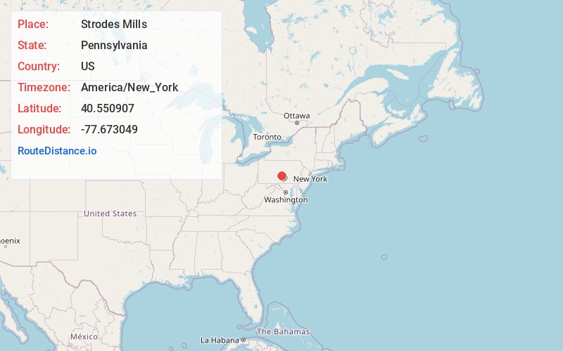
Full AddressStrodes Mills, PA
-
Coordinates40.5509069, -77.6730487
-
LocationStrodes Mills , Pennsylvania , US
-
TimezoneAmerica/New_York
-
Current Local Time9:35:47 PM America/New_YorkTuesday, May 27, 2025
-
Page Views0
About Strodes Mills
Strodes Mills is a census-designated place located in Oliver and Granville Townships in Mifflin County in the state of Pennsylvania, United States. It is located along U.S. Route 22 and U.S. Route 522 in central Mifflin County, between the community of McVeytown and the borough of Lewistown.


Nearby Places
Found 10 places within 50 miles

Granville
2.5 mi
4.0 km
Granville, PA
Get directions

Belleville
4.6 mi
7.4 km
Belleville, PA 17004
Get directions
Menno
5.4 mi
8.7 km
Menno, PA 17004
Get directions

Lewistown
6.3 mi
10.1 km
Lewistown, PA 17044
Get directions

Burnham
8.2 mi
13.2 km
Burnham, PA
Get directions
Church Hill
10.7 mi
17.2 km
Church Hill, PA 17084
Get directions

Milroy
12.1 mi
19.5 km
Milroy, PA
Get directions
Mifflin
14.2 mi
22.9 km
Mifflin, PA
Get directions

Harris Township
15.0 mi
24.1 km
Harris Township, PA
Get directions
Decatur
15.2 mi
24.5 km
Decatur, PA 17841
Get directions
Location Links
Local Weather
Weather Information
Coming soon!
Location Map
Static map view of Strodes Mills, Pennsylvania
Browse Places by Distance
Places within specific distances from Strodes Mills
Short Distances
Long Distances
Click any distance to see all places within that range from Strodes Mills. Distances shown in miles (1 mile ≈ 1.61 kilometers).