Distance to Stubblefield, Illinois

Calculating Your Route
Just a moment while we process your request...
Location Information
-
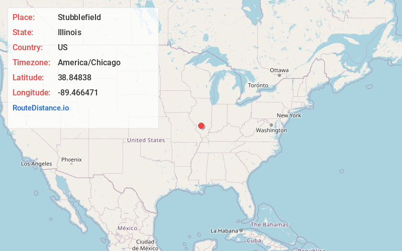
Full AddressStubblefield, IL 62246
-
Coordinates38.8483802, -89.4664709
-
LocationStubblefield , Illinois , US
-
TimezoneAmerica/Chicago
-
Current Local Time4:48:14 AM America/ChicagoWednesday, June 25, 2025
-
Page Views0
About Stubblefield
Stubblefield is an unincorporated community in Bond County, Illinois, United States. The community is served by an exit on Interstate 70. The nearest city to Stubblefield is Greenville.
Nearby Places
Found 10 places within 50 miles

Dudleyville
3.1 mi
5.0 km
Dudleyville, IL 62246
Get directions

Greenville
4.2 mi
6.8 km
Greenville, IL
Get directions

Pocahontas
4.3 mi
6.9 km
Pocahontas, IL 62275
Get directions
Old Ripley
6.5 mi
10.5 km
Old Ripley, IL 62275
Get directions

Smithboro
7.5 mi
12.1 km
Smithboro, IL 62284
Get directions

Jamestown
8.3 mi
13.4 km
Jamestown, IL 62275
Get directions
Pierron
8.5 mi
13.7 km
Pierron, IL
Get directions
Reno
9.1 mi
14.6 km
Reno, Shoal Creek Township, IL 62246
Get directions
Pleasant Mound
9.5 mi
15.3 km
Pleasant Mound, IL 62284
Get directions
Woburn
10.0 mi
16.1 km
Woburn, IL 62246
Get directions
Location Links
Local Weather
Weather Information
Coming soon!
Location Map
Static map view of Stubblefield, Illinois
Browse Places by Distance
Places within specific distances from Stubblefield
Short Distances
Long Distances
Click any distance to see all places within that range from Stubblefield. Distances shown in miles (1 mile ≈ 1.61 kilometers).