Distance to Studley, Kansas

Calculating Your Route
Just a moment while we process your request...
Location Information
-
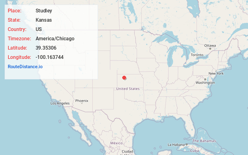
Full AddressStudley, KS 67650
-
Coordinates39.3530597, -100.163744
-
LocationStudley , Kansas , US
-
TimezoneAmerica/Chicago
-
Current Local Time4:24:38 AM America/ChicagoWednesday, June 18, 2025
-
Page Views0
About Studley
Studley is an unincorporated community in Sheridan County, Kansas, United States, approximately 16 miles east of Hoxie along U.S. Route 24. It is on the eastern edge of the county in Valley Township, bordering Graham County. It was named after the Studley Royal Park, in England.
Nearby Places
Found 10 places within 50 miles

Morland
4.7 mi
7.6 km
Morland, KS 67650
Get directions
Saint Peter
12.0 mi
19.3 km
Saint Peter, KS 67650
Get directions

Hoxie
14.9 mi
24.0 km
Hoxie, KS 67740
Get directions
New Almelo
16.9 mi
27.2 km
New Almelo, KS 67629
Get directions

Hill City
17.2 mi
27.7 km
Hill City, KS
Get directions

Park
19.6 mi
31.5 km
Park, KS 67751
Get directions
Lenora
19.8 mi
31.9 km
Lenora, KS 67645
Get directions
Togo
19.8 mi
31.9 km
Togo, Happy Township, KS 67672
Get directions

Quinter
19.9 mi
32.0 km
Quinter, KS 67752
Get directions
Collyer
22.1 mi
35.6 km
Collyer, KS 67631
Get directions
Location Links
Local Weather
Weather Information
Coming soon!
Location Map
Static map view of Studley, Kansas
Browse Places by Distance
Places within specific distances from Studley
Short Distances
Long Distances
Click any distance to see all places within that range from Studley. Distances shown in miles (1 mile ≈ 1.61 kilometers).