Distance to Stull, Kansas

Calculating Your Route
Just a moment while we process your request...
Location Information
-
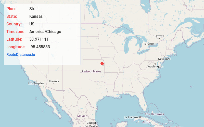
Full AddressStull, KS 66050
-
Coordinates38.971111, -95.455833
-
LocationStull , Kansas , US
-
TimezoneAmerica/Chicago
-
Current Local Time2:29:00 PM America/ChicagoTuesday, June 24, 2025
-
Page Views0
About Stull
Stull is an unincorporated community in Douglas County, Kansas, United States. Founded in 1857, the settlement was initially known as Deer Creek by Pennsylvania Dutch settlers until it was renamed after its only postmaster, Sylvester Stull. As of 2018, only a handful of structures remain in the area.
Nearby Places
Found 10 places within 50 miles

Big Springs
3.3 mi
5.3 km
Big Springs, Lecompton Township, KS 66050
Get directions
Kanwaka
4.5 mi
7.2 km
Kanwaka, KS 66049
Get directions
Clinton
5.4 mi
8.7 km
Clinton, KS 66047
Get directions

Lecompton
6.0 mi
9.7 km
Lecompton, KS 66050
Get directions
Grover
6.1 mi
9.8 km
Grover, Lecompton Township, KS 66050
Get directions
Spencer
7.3 mi
11.7 km
Spencer, Tecumseh Township, KS 66542
Get directions
Newman
7.6 mi
12.2 km
Newman, Kentucky Township, KS 66073
Get directions

Perry
8.0 mi
12.9 km
Perry, KS 66073
Get directions

Tecumseh
8.5 mi
13.7 km
Tecumseh, KS
Get directions
Kentucky Township
9.1 mi
14.6 km
Kentucky Township, KS
Get directions
Location Links
Local Weather
Weather Information
Coming soon!
Location Map
Static map view of Stull, Kansas
Browse Places by Distance
Places within specific distances from Stull
Short Distances
Long Distances
Click any distance to see all places within that range from Stull. Distances shown in miles (1 mile ≈ 1.61 kilometers).