Distance to Sturgeon Township, Minnesota

Calculating Your Route
Just a moment while we process your request...
Location Information
-
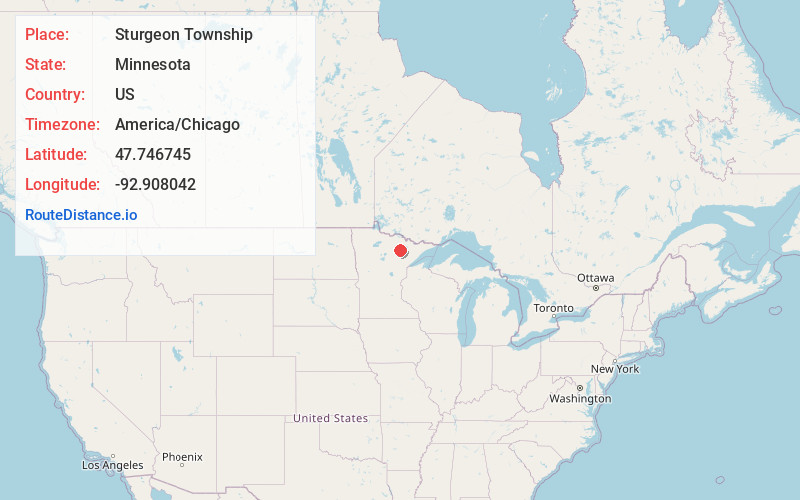
Full AddressSturgeon Township, MN
-
Coordinates47.7467454, -92.908042
-
LocationSturgeon Township , Minnesota , US
-
TimezoneAmerica/Chicago
-
Current Local Time1:46:35 PM America/ChicagoTuesday, June 24, 2025
-
Page Views0
About Sturgeon Township
Sturgeon Township is a township in Saint Louis County, Minnesota, United States. The population was 140 at the 2010 census.
State Highway 73 and Saint Louis County Road 22 are two of the main routes in the township. Highway 73 runs north–south through the township. County 22 runs east–west through the township.
Nearby Places
Found 10 places within 50 miles

French Township
6.7 mi
10.8 km
French Township, MN
Get directions
Dark River
6.9 mi
11.1 km
Dark River, Minnesota
Get directions

Side Lake
7.5 mi
12.1 km
Side Lake, MN 55781
Get directions
Linden Grove
8.2 mi
13.2 km
Linden Grove, MN 55723
Get directions
Meadow Brook
8.3 mi
13.4 km
Meadow Brook, MN 55723
Get directions
Linden Grove Township
8.4 mi
13.5 km
Linden Grove Township, MN
Get directions

Bear River
8.4 mi
13.5 km
Bear River, MN 55723
Get directions
Field Township
9.7 mi
15.6 km
Field Township, MN
Get directions
Bearville Township
10.5 mi
16.9 km
Bearville Township, MN
Get directions
Celina
10.9 mi
17.5 km
Celina, MN 55723
Get directions
Location Links
Local Weather
Weather Information
Coming soon!
Location Map
Static map view of Sturgeon Township, Minnesota
Browse Places by Distance
Places within specific distances from Sturgeon Township
Short Distances
Long Distances
Click any distance to see all places within that range from Sturgeon Township. Distances shown in miles (1 mile ≈ 1.61 kilometers).