Distance to Stutts, Missouri

Calculating Your Route
Just a moment while we process your request...
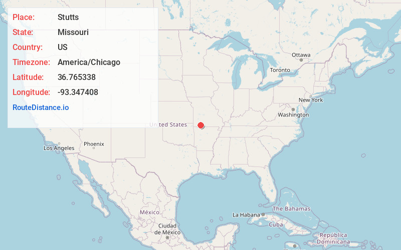
Location Information
-
Full AddressStutts, Ruth a Township, MO 65737
-
Coordinates36.7653378, -93.3474078
-
LocationRuth a Township , Missouri , US
-
TimezoneAmerica/Chicago
-
Current Local Time3:41:14 PM America/ChicagoThursday, July 3, 2025
-
Page Views0
About Stutts
Reeds Spring Junction is an unincorporated community in eastern Stone County, Missouri, United States. It was so named as it was located on U.S. Route 160 at Route 248, a road which continued to the city of Reeds Spring two miles to the west. It had previously been known as Stults.
Nearby Places
Found 10 places within 50 miles

Reeds Spring
2.0 mi
3.2 km
Reeds Spring, MO 65737
Get directions

Tauria
2.8 mi
4.5 km
Tauria, Ruth a Township, MO 65737
Get directions

Branson West
4.9 mi
7.9 km
Branson West, MO 65737
Get directions
Garber
5.8 mi
9.3 km
Garber, MO 65616
Get directions
Day
6.6 mi
10.6 km
Day, Jasper Township, MO 65771
Get directions

Spokane
7.1 mi
11.4 km
Spokane, MO 65754
Get directions

Galena
7.2 mi
11.6 km
Galena, MO 65656
Get directions
Gretna
8.5 mi
13.7 km
Gretna, MO 65616
Get directions

Bull Creek
8.7 mi
14.0 km
Bull Creek, MO 65616
Get directions
McCord Bend
8.8 mi
14.2 km
McCord Bend, MO 65656
Get directions
Location Links
Local Weather
Weather Information
Coming soon!
Location Map
Static map view of Stutts, Missouri
Browse Places by Distance
Places within specific distances from Stutts
Short Distances
Long Distances
Click any distance to see all places within that range from Stutts. Distances shown in miles (1 mile ≈ 1.61 kilometers).