Distance to Stuyvesant Falls, New York

Calculating Your Route
Just a moment while we process your request...
Location Information
-
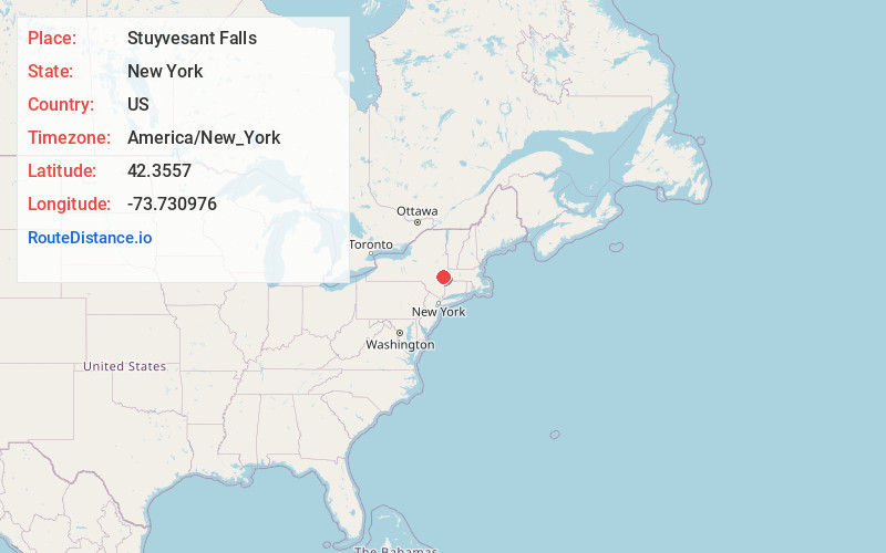
Full AddressStuyvesant Falls, NY
-
Coordinates42.3556997, -73.7309755
-
LocationStuyvesant Falls , New York , US
-
TimezoneAmerica/New_York
-
Current Local Time12:48:34 PM America/New_YorkFriday, May 30, 2025
-
Page Views0
About Stuyvesant Falls
Stuyvesant Falls is a hamlet in the town of Stuyvesant in Columbia County, New York, United States. The ZIP code is 12174. It was called Glencadia in the 18th century and well into the 19th century, the name having changed sometime after 1848.


Nearby Places
Found 10 places within 50 miles

Kinderhook
3.2 mi
5.1 km
Kinderhook, NY 12106
Get directions

Omi
3.3 mi
5.3 km
Omi, Ghent, NY 12075
Get directions

Coxsackie
3.7 mi
6.0 km
Coxsackie, NY
Get directions

Stottville
4.8 mi
7.7 km
Stottville, NY 12534
Get directions

Valatie
5.0 mi
8.0 km
Valatie, NY 12184
Get directions

Sleepy Hollow Lake, Greene County, New York
5.7 mi
9.2 km
Sleepy Hollow Lake, Greene County, New York, New York 12015
Get directions
Poolsburg
6.0 mi
9.7 km
Poolsburg, Stuyvesant, NY 12173
Get directions
Valatie Colony
6.3 mi
10.1 km
Valatie Colony, Kinderhook, NY 12184
Get directions
Buckleyville
6.5 mi
10.5 km
Buckleyville, Ghent, NY 12037
Get directions

Lorenz Park
6.6 mi
10.6 km
Lorenz Park, NY 12534
Get directions
Location Links
Local Weather
Weather Information
Coming soon!
Location Map
Static map view of Stuyvesant Falls, New York
Browse Places by Distance
Places within specific distances from Stuyvesant Falls
Short Distances
Long Distances
Click any distance to see all places within that range from Stuyvesant Falls. Distances shown in miles (1 mile ≈ 1.61 kilometers).