Distance to Sucarnoochee, Mississippi

Calculating Your Route
Just a moment while we process your request...
Location Information
-
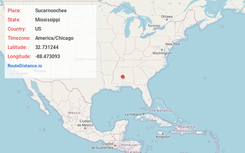
Full AddressSucarnoochee, MS 39358
-
Coordinates32.7312443, -88.4730933
-
LocationMississippi , US
-
TimezoneAmerica/Chicago
-
Current Local Time10:47:33 AM America/ChicagoWednesday, May 21, 2025
-
Page Views0
About Sucarnoochee
Sucarnoochee is an unincorporated community in Kemper County, Mississippi, United States. Its post office has been closed. It was also known as Sucarnooche.
The community was named from its location near the Sucarnoochee River.
Sucarnoochee is located on the Kansas City Southern Railway.
Nearby Places
Found 10 places within 50 miles

Electric Mills
2.7 mi
4.3 km
Electric Mills, MS 39358
Get directions
Porterville
3.1 mi
5.0 km
Porterville, MS 39352
Get directions
Akron
3.1 mi
5.0 km
Akron, MS 39358
Get directions
Townsend
4.7 mi
7.6 km
Townsend, MS 39352
Get directions
Carters
5.6 mi
9.0 km
Carters, MS 39328
Get directions
Enondale
6.6 mi
10.6 km
Enondale, MS 39335
Get directions

Scooba
6.7 mi
10.8 km
Scooba, MS 39358
Get directions
Giles
8.8 mi
14.2 km
Giles, MS 39358
Get directions
Emelle
9.2 mi
14.8 km
Emelle, AL 35459
Get directions
Sledge
9.7 mi
15.6 km
Sledge, AL 35459
Get directions
Location Links
Local Weather
Weather Information
Coming soon!
Location Map
Static map view of Sucarnoochee, Mississippi
Browse Places by Distance
Places within specific distances from Sucarnoochee
Short Distances
Long Distances
Click any distance to see all places within that range from Sucarnoochee. Distances shown in miles (1 mile ≈ 1.61 kilometers).