Distance to Suches, Georgia

Calculating Your Route
Just a moment while we process your request...
Location Information
-
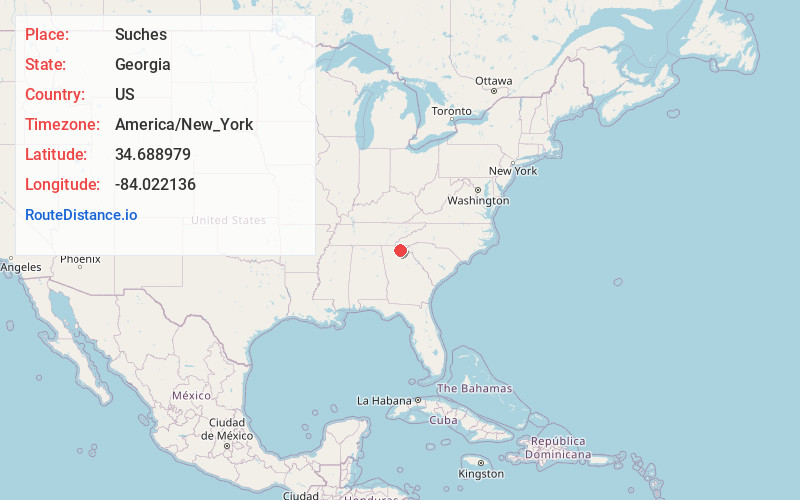
Full AddressSuches, GA 30572
-
Coordinates34.6889792, -84.0221356
-
LocationSuches , Georgia , US
-
TimezoneAmerica/New_York
-
Current Local Time7:25:16 AM America/New_YorkThursday, June 5, 2025
-
Page Views0
About Suches
Suches is an unincorporated community in Union County, Georgia, United States.
The local school is Woody Gap School, the smallest public school in the state of Georgia.


Nearby Places
Found 10 places within 50 miles

Sarah
1.7 mi
2.7 km
Sarah, GA 30572
Get directions
Baxter
4.5 mi
7.2 km
Baxter, GA 30572
Get directions
Fort Smith
5.0 mi
8.0 km
Fort Smith, GA 30533
Get directions

Hightower Gap
6.4 mi
10.3 km
Hightower Gap, Georgia 30513
Get directions

Cane Creek Falls
9.2 mi
14.8 km
Cane Creek Falls, Dahlonega, GA 30533
Get directions
Owltown
9.8 mi
15.8 km
Owltown, GA 30512
Get directions
Hood
9.9 mi
15.9 km
Hood, GA 30512
Get directions
Town Creek
10.1 mi
16.3 km
Town Creek, Georgia 30528
Get directions
Bunker Hill
10.5 mi
16.9 km
Bunker Hill, GA 30512
Get directions
Choestoe
10.6 mi
17.1 km
Choestoe, GA 30512
Get directions
Location Links
Local Weather
Weather Information
Coming soon!
Location Map
Static map view of Suches, Georgia
Browse Places by Distance
Places within specific distances from Suches
Short Distances
Long Distances
Click any distance to see all places within that range from Suches. Distances shown in miles (1 mile ≈ 1.61 kilometers).