Distance to Sugar Hill, North Carolina

Calculating Your Route
Just a moment while we process your request...
Location Information
-
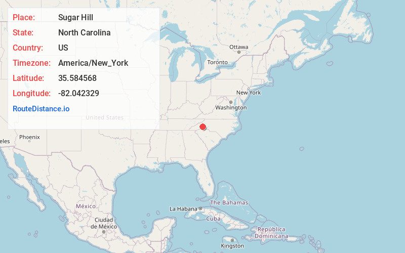
Full AddressSugar Hill, NC 28752
-
Coordinates35.5845679, -82.0423292
-
LocationNorth Carolina , US
-
TimezoneAmerica/New_York
-
Current Local Time6:56:00 AM America/New_YorkMonday, June 2, 2025
-
Page Views0
Nearby Places
Found 10 places within 50 miles

Fero
3.6 mi
5.8 km
Fero, NC 28752
Get directions

Glenwood
4.0 mi
6.4 km
Glenwood, NC 28752
Get directions

West Marion
4.5 mi
7.2 km
West Marion, NC 28752
Get directions
Whitehouse
4.8 mi
7.7 km
Whitehouse, NC 28167
Get directions
Vein Mountain
4.9 mi
7.9 km
Vein Mountain, NC 28752
Get directions
Thermal City
5.9 mi
9.5 km
Thermal City, NC 28167
Get directions
Greenlee
7.1 mi
11.4 km
Greenlee, NC 28762
Get directions
Jacktown
7.1 mi
11.4 km
Jacktown, NC 28752
Get directions

Marion
7.1 mi
11.4 km
Marion, NC 28752
Get directions
Lackey Town
7.1 mi
11.4 km
Lackey Town, NC 28762
Get directions
Location Links
Local Weather
Weather Information
Coming soon!
Location Map
Static map view of Sugar Hill, North Carolina
Browse Places by Distance
Places within specific distances from Sugar Hill
Short Distances
Long Distances
Click any distance to see all places within that range from Sugar Hill. Distances shown in miles (1 mile ≈ 1.61 kilometers).