Distance to Sugar Island, Wisconsin

Calculating Your Route
Just a moment while we process your request...
Location Information
-
Full AddressSugar Island, Lebanon, WI 53098
-
Coordinates43.2258348, -88.5798228
-
LocationLebanon , Wisconsin , US
-
TimezoneAmerica/Chicago
-
Current Local Time5:29:12 AM America/ChicagoSaturday, June 7, 2025
-
Page Views0
About Sugar Island
Sugar Island is an unincorporated community in the Village of Summit, Waukesha county, United States. It is located on County Trunk Highway O, west of Highway 67, 10 miles east of Watertown, Wisconsin, and 5 miles east of County Trunk Highway R in Summit Wisconsin. The island is surrounded by Lower Lake Nemahbin.
Nearby Places
Found 10 places within 50 miles

Old Ashippun
3.0 mi
4.8 km
Old Ashippun, Ashippun, WI 53066
Get directions
Lebanon
3.1 mi
5.0 km
Lebanon, WI 53098
Get directions

Ashippun
3.4 mi
5.5 km
Ashippun, WI
Get directions

Ixonia
5.7 mi
9.2 km
Ixonia, WI 53036
Get directions

Lac La Belle
6.2 mi
10.0 km
Lac La Belle, WI
Get directions

Neosho
6.6 mi
10.6 km
Neosho, WI 53059
Get directions
Pipersville
6.8 mi
10.9 km
Pipersville, Ixonia, WI 53094
Get directions
Lake Lac La Belle
6.8 mi
10.9 km
Lake Lac La Belle, Ixonia, WI 53066
Get directions
Mapleton
6.8 mi
10.9 km
Mapleton, Oconomowoc, WI 53066
Get directions

Watertown
7.8 mi
12.6 km
Watertown, WI
Get directions
Location Links
Local Weather
Weather Information
Coming soon!
Location Map
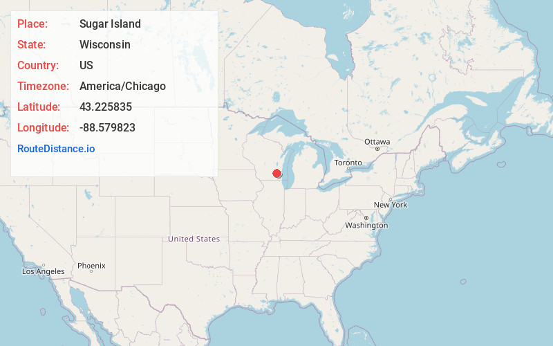
Static map view of Sugar Island, Wisconsin
Browse Places by Distance
Places within specific distances from Sugar Island
Short Distances
Long Distances
Click any distance to see all places within that range from Sugar Island. Distances shown in miles (1 mile ≈ 1.61 kilometers).