Distance to Sugar Island Township, Michigan

Calculating Your Route
Just a moment while we process your request...
Location Information
-
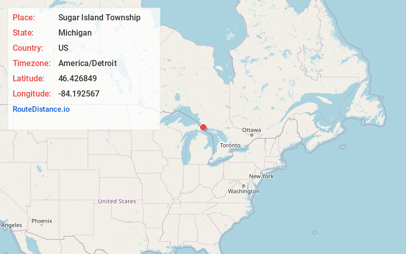
Full AddressSugar Island Township, MI 49783
-
Coordinates46.4268489, -84.192567
-
LocationSugar Island Township , Michigan , US
-
TimezoneAmerica/Detroit
-
Current Local Time12:22:28 PM America/DetroitWednesday, June 4, 2025
-
Page Views0
About Sugar Island Township
Sugar Island Township is a civil township of Chippewa County in the U.S. state of Michigan. The population was 653 at the 2020 census. The township consists of Sugar Island, several smaller islands, and the surrounding waters in the St. Marys River.


Nearby Places
Found 10 places within 50 miles

Baie De Wasai
3.4 mi
5.5 km
Baie De Wasai, MI 49783
Get directions
Brassar
5.6 mi
9.0 km
Brassar, MI 49783
Get directions
Rosedale
7.1 mi
11.4 km
Rosedale, MI 49783
Get directions
Payment
7.6 mi
12.2 km
Payment, MI 49783
Get directions

Sault Ste. Marie
8.9 mi
14.3 km
Sault Ste. Marie, MI 49783
Get directions
Oak Ridge
9.6 mi
15.4 km
Oak Ridge, MI 49710
Get directions

Barbeau
10.4 mi
16.7 km
Barbeau, MI 49774
Get directions
Dafter
12.1 mi
19.5 km
Dafter, MI 49724
Get directions
Munuscong
12.6 mi
20.3 km
Munuscong, MI 49710
Get directions
Kincheloe
16.6 mi
26.7 km
Kincheloe, MI 49788
Get directions
Location Links
Local Weather
Weather Information
Coming soon!
Location Map
Static map view of Sugar Island Township, Michigan
Browse Places by Distance
Places within specific distances from Sugar Island Township
Short Distances
Long Distances
Click any distance to see all places within that range from Sugar Island Township. Distances shown in miles (1 mile ≈ 1.61 kilometers).