Distance to Sugarbush, New York

Calculating Your Route
Just a moment while we process your request...
Location Information
-
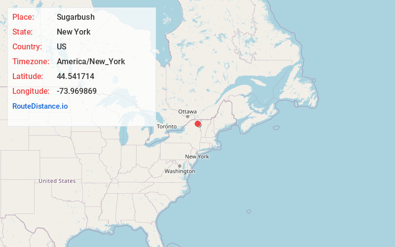
Full AddressSugarbush, NY 12989
-
Coordinates44.5417137, -73.9698685
-
LocationSugarbush , New York , US
-
TimezoneAmerica/New_York
-
Current Local Time12:20:09 AM America/New_YorkFriday, June 20, 2025
-
Page Views0
Nearby Places
Found 10 places within 50 miles

Alder Brook
2.4 mi
3.9 km
Alder Brook, NY 12989
Get directions
Hawkeye
5.7 mi
9.2 km
Hawkeye, NY 12985
Get directions
High Bank
6.5 mi
10.5 km
High Bank, NY 12981
Get directions
Franklin Falls
7.3 mi
11.7 km
Franklin Falls, NY 12913
Get directions
Clayburg
7.5 mi
12.1 km
Clayburg, NY 12981
Get directions
Forestdale
7.7 mi
12.4 km
Forestdale, NY 12913
Get directions

Vermontville
7.8 mi
12.6 km
Vermontville, NY 12989
Get directions
West Kilns
7.9 mi
12.7 km
West Kilns, NY 12912
Get directions

Onchiota
8.2 mi
13.2 km
Onchiota, NY 12989
Get directions

Redford
9.4 mi
15.1 km
Redford, NY
Get directions
Location Links
Local Weather
Weather Information
Coming soon!
Location Map
Static map view of Sugarbush, New York
Browse Places by Distance
Places within specific distances from Sugarbush
Short Distances
Long Distances
Click any distance to see all places within that range from Sugarbush. Distances shown in miles (1 mile ≈ 1.61 kilometers).