Distance to Sugarfield, California

Calculating Your Route
Just a moment while we process your request...
Location Information
-
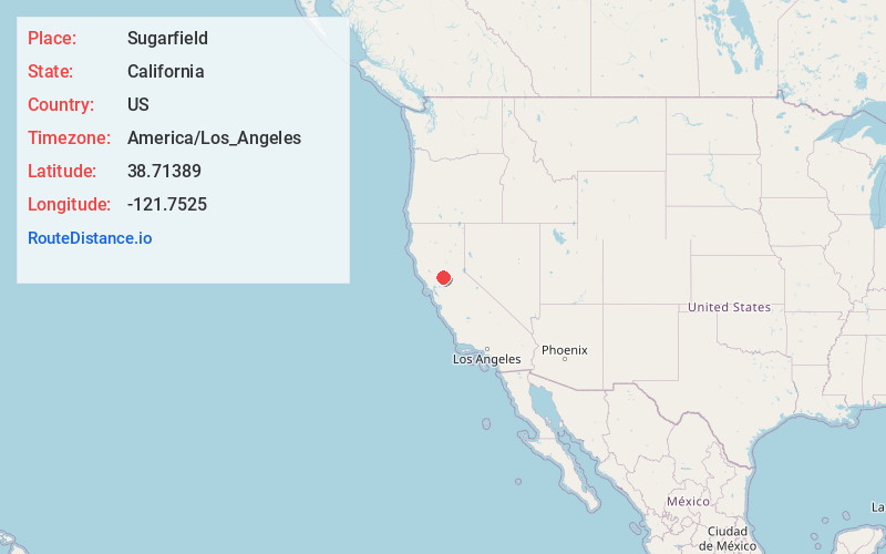
Full AddressSugarfield, CA 95776
-
Coordinates38.71389, -121.7525
-
LocationSugarfield , California , US
-
TimezoneAmerica/Los_Angeles
-
Current Local Time11:26:42 AM America/Los_AngelesThursday, June 12, 2025
-
Page Views0
Nearby Places
Found 10 places within 50 miles

Woodland
2.7 mi
4.3 km
Woodland, CA
Get directions

Yolo
3.2 mi
5.1 km
Yolo, CA
Get directions

Conaway
5.0 mi
8.0 km
Conaway, CA 95691
Get directions
Dufour
5.9 mi
9.5 km
Dufour, CA 95695
Get directions

Knights Landing
6.2 mi
10.0 km
Knights Landing, CA
Get directions
Merritt
6.9 mi
11.1 km
Merritt, CA 95776
Get directions
Monument Hills
7.1 mi
11.4 km
Monument Hills, CA 95695
Get directions
Karnak
7.2 mi
11.6 km
Karnak, CA 95645
Get directions
Ensley
7.8 mi
12.6 km
Ensley, CA 95645
Get directions
Cunard
7.8 mi
12.6 km
Cunard, CA 95645
Get directions
Location Links
Local Weather
Weather Information
Coming soon!
Location Map
Static map view of Sugarfield, California
Browse Places by Distance
Places within specific distances from Sugarfield
Short Distances
Long Distances
Click any distance to see all places within that range from Sugarfield. Distances shown in miles (1 mile ≈ 1.61 kilometers).