Distance to Sugarlimb, Tennessee

Calculating Your Route
Just a moment while we process your request...
Location Information
-
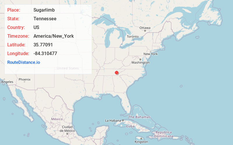
Full AddressSugarlimb, TN 37771
-
Coordinates35.77091, -84.310477
-
LocationTennessee , US
-
TimezoneAmerica/New_York
-
Current Local Time11:38:21 PM America/New_YorkThursday, June 5, 2025
-
Page Views0
Nearby Places
Found 10 places within 50 miles

Poplar Springs
2.0 mi
3.2 km
Poplar Springs, TN 37774
Get directions

Loudon
2.9 mi
4.7 km
Loudon, TN 37774
Get directions

Lenoir City
3.6 mi
5.8 km
Lenoir City, TN
Get directions
Busselltown
4.3 mi
6.9 km
Busselltown, TN 37772
Get directions
Fort Loudon Estates
4.5 mi
7.2 km
Fort Loudon Estates, TN 37772
Get directions
Cave Creek
5.2 mi
8.4 km
Cave Creek, TN 37774
Get directions
Big Piney
5.9 mi
9.5 km
Big Piney, TN 37774
Get directions

Tellico Village
6.1 mi
9.8 km
Tellico Village, TN 37774
Get directions
Dogwood Shores
7.3 mi
11.7 km
Dogwood Shores, TN 37763
Get directions
Coulter Shoals
7.7 mi
12.4 km
Coulter Shoals, Tennessee 37772
Get directions
Location Links
Local Weather
Weather Information
Coming soon!
Location Map
Static map view of Sugarlimb, Tennessee
Browse Places by Distance
Places within specific distances from Sugarlimb
Short Distances
Long Distances
Click any distance to see all places within that range from Sugarlimb. Distances shown in miles (1 mile ≈ 1.61 kilometers).