Distance to Sugarloaf Mountain, Florida

Calculating Your Route
Just a moment while we process your request...
Location Information
-
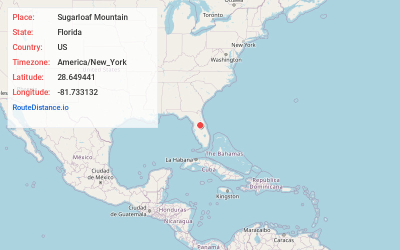
Full AddressSugarloaf Mountain, Florida 34715
-
Coordinates28.6494413, -81.7331317
-
LocationFlorida , US
-
TimezoneAmerica/New_York
-
Current Local Time12:35:36 AM America/New_YorkSunday, June 1, 2025
-
Page Views0
About Sugarloaf Mountain
312-ft. ridge, Florida's highest point, overlooking a lake crossed by a scenic byway.


Nearby Places
Found 10 places within 50 miles

Howey Height
1.2 mi
1.9 km
Howey Height, FL 34715
Get directions
Clay Island
2.5 mi
4.0 km
Clay Island, FL 34705
Get directions
Ferndale
2.6 mi
4.2 km
Ferndale, FL 34715
Get directions
Astatula
4.2 mi
6.8 km
Astatula, FL 34705
Get directions

Montverde
4.9 mi
7.9 km
Montverde, FL
Get directions

Howey-In-The-Hills
5.1 mi
8.2 km
Howey-In-The-Hills, FL 34737
Get directions

Minneola
5.2 mi
8.4 km
Minneola, FL
Get directions
Mohawk
5.3 mi
8.5 km
Mohawk, Minneola, FL 34715
Get directions
Skytop
5.8 mi
9.3 km
Skytop, Clermont, FL 34711
Get directions

Lake Apopka
6.8 mi
10.9 km
Lake Apopka, Florida
Get directions
Location Links
Local Weather
Weather Information
Coming soon!
Location Map
Static map view of Sugarloaf Mountain, Florida
Browse Places by Distance
Places within specific distances from Sugarloaf Mountain
Short Distances
Long Distances
Click any distance to see all places within that range from Sugarloaf Mountain. Distances shown in miles (1 mile ≈ 1.61 kilometers).