Distance to Sugarloaf Mountain, Maine

Calculating Your Route
Just a moment while we process your request...
Location Information
-
Full AddressSugarloaf Mountain, Carrabassett Valley, ME 04947
-
Coordinates45.0314444, -70.3131231
-
LocationCarrabassett Valley , Maine , US
-
TimezoneAmerica/New_York
-
Current Local Time1:37:31 AM America/New_YorkFriday, May 30, 2025
-
Page Views0
About Sugarloaf Mountain
The state's third-highest peak, this 4,237-ft mountain offers a skiing area, resort & hiking trails.


Nearby Places
Found 10 places within 50 miles

Carrabassett Valley
3.8 mi
6.1 km
Carrabassett Valley, ME 04947
Get directions

Wyman
6.5 mi
10.5 km
Wyman, ME 04947
Get directions
East Central Franklin
9.2 mi
14.8 km
East Central Franklin, ME
Get directions

Kingfield
9.2 mi
14.8 km
Kingfield, ME 04947
Get directions
Coplin
10.5 mi
16.9 km
Coplin, ME
Get directions
Highland
11.3 mi
18.2 km
Highland, ME
Get directions

Northwest Somerset
11.6 mi
18.7 km
Northwest Somerset, ME
Get directions

Eustis
13.8 mi
22.2 km
Eustis, ME
Get directions

Phillips
14.5 mi
23.3 km
Phillips, ME 04966
Get directions

New Portland
14.7 mi
23.7 km
New Portland, ME 04961
Get directions
Location Links
Local Weather
Weather Information
Coming soon!
Location Map
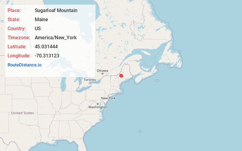
Static map view of Sugarloaf Mountain, Maine
Browse Places by Distance
Places within specific distances from Sugarloaf Mountain
Short Distances
Long Distances
Click any distance to see all places within that range from Sugarloaf Mountain. Distances shown in miles (1 mile ≈ 1.61 kilometers).