Distance to Sugartown, Louisiana

Calculating Your Route
Just a moment while we process your request...
Location Information
-
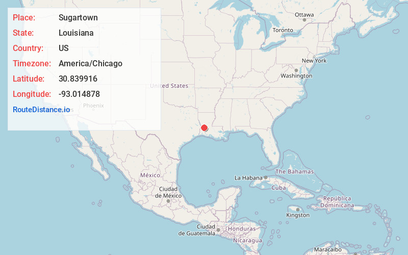
Full AddressSugartown, LA
-
Coordinates30.8399155, -93.0148779
-
LocationSugartown , Louisiana , US
-
TimezoneAmerica/Chicago
-
Current Local Time6:59:09 AM America/ChicagoWednesday, June 11, 2025
-
Page Views0
About Sugartown
Sugartown is an unincorporated community and census-designated place in Beauregard Parish, Louisiana, United States, approximately 16 miles east of DeRidder. As of the 2010 census it had a population of 54. The geographical center of Sugartown today is posted as the intersection of LA 112 and LA 113.
Nearby Places
Found 10 places within 50 miles

Pitkin
8.1 mi
13.0 km
Pitkin, LA 70656
Get directions

Elizabeth
13.3 mi
21.4 km
Elizabeth, LA
Get directions

DeRidder
16.3 mi
26.2 km
DeRidder, LA 70634
Get directions

Rosepine
16.8 mi
27.0 km
Rosepine, LA
Get directions

Longville
20.7 mi
33.3 km
Longville, LA 70652
Get directions

Oakdale
21.2 mi
34.1 km
Oakdale, LA 71463
Get directions

Oberlin
21.3 mi
34.3 km
Oberlin, LA
Get directions
Reeves
22.1 mi
35.6 km
Reeves, LA 70658
Get directions
New Llano
24.3 mi
39.1 km
New Llano, LA
Get directions

Leesville
25.5 mi
41.0 km
Leesville, LA 71446
Get directions
Location Links
Local Weather
Weather Information
Coming soon!
Location Map
Static map view of Sugartown, Louisiana
Browse Places by Distance
Places within specific distances from Sugartown
Short Distances
Long Distances
Click any distance to see all places within that range from Sugartown. Distances shown in miles (1 mile ≈ 1.61 kilometers).