Distance to Suggs Creek, Tennessee

Calculating Your Route
Just a moment while we process your request...
Location Information
-
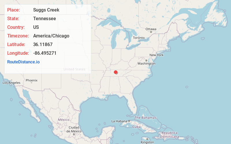
Full AddressSuggs Creek, TN 37122
-
Coordinates36.1186695, -86.4952713
-
LocationTennessee , US
-
TimezoneAmerica/Chicago
-
Current Local Time5:49:37 PM America/ChicagoWednesday, June 18, 2025
-
Page Views0
About Suggs Creek
Suggs Creek is an unincorporated community in Wilson County, Tennessee, United States. It is located around the intersection of Stewarts Ferry Pike and Corinth Road. The community has a general store and two churches. Suggs Creek is also home to Lucky Lantern Farm, which has been featured on RFD TV.
Nearby Places
Found 10 places within 50 miles

Rural Hill
1.4 mi
2.3 km
Rural Hill, TN
Get directions
Gladeville
4.4 mi
7.1 km
Gladeville, TN
Get directions
Silver Springs
5.8 mi
9.3 km
Silver Springs, TN 37122
Get directions

Mt. Juliet
5.8 mi
9.3 km
Mt. Juliet, TN
Get directions
Hales Camp
8.5 mi
13.7 km
Hales Camp, Smyrna, TN 37167
Get directions
Martha
8.6 mi
13.8 km
Martha, Lebanon, TN 37090
Get directions

La Vergne
8.6 mi
13.8 km
La Vergne, TN
Get directions
Major
9.1 mi
14.6 km
Major, TN 37090
Get directions
Hickory Grove
9.5 mi
15.3 km
Hickory Grove, Smyrna, TN 37129
Get directions

Smyrna
9.5 mi
15.3 km
Smyrna, TN
Get directions
Location Links
Local Weather
Weather Information
Coming soon!
Location Map
Static map view of Suggs Creek, Tennessee
Browse Places by Distance
Places within specific distances from Suggs Creek
Short Distances
Long Distances
Click any distance to see all places within that range from Suggs Creek. Distances shown in miles (1 mile ≈ 1.61 kilometers).