Distance to Sumatra, Montana

Calculating Your Route
Just a moment while we process your request...
Location Information
-
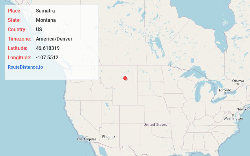
Full AddressSumatra, MT 59054
-
Coordinates46.6183191, -107.5511999
-
LocationSumatra , Montana , US
-
TimezoneAmerica/Denver
-
Current Local Time9:05:08 AM America/DenverSunday, June 29, 2025
-
Page Views0
About Sumatra
Sumatra is an unincorporated community in far northwestern Rosebud County, Montana, United States. It consists of a church and a post office, with respective houses, surrounded by open ranch land.
Sumatra was established in 1905 as a station stop, called Summit, on the Milwaukee Road.
Nearby Places
Found 10 places within 50 miles

Melstone
15.3 mi
24.6 km
Melstone, MT 59054
Get directions
Musselshell
26.6 mi
42.8 km
Musselshell, MT 59059
Get directions

Hysham
27.1 mi
43.6 km
Hysham, MT 59038
Get directions
Custer
33.8 mi
54.4 km
Custer, MT 59024
Get directions
Fee
37.2 mi
59.9 km
Fee, MT 59024
Get directions
Cat Creek
37.6 mi
60.5 km
Cat Creek, MT 59087
Get directions
Kilby Butte Colony
38.2 mi
61.5 km
Kilby Butte Colony, MT 59072
Get directions
Winnett
46.3 mi
74.5 km
Winnett, MT 59087
Get directions

Pompeys Pillar
47.4 mi
76.3 km
Pompeys Pillar, MT 59064
Get directions

Forsyth
48.1 mi
77.4 km
Forsyth, MT 59327
Get directions
Location Links
Local Weather
Weather Information
Coming soon!
Location Map
Static map view of Sumatra, Montana
Browse Places by Distance
Places within specific distances from Sumatra
Short Distances
Long Distances
Click any distance to see all places within that range from Sumatra. Distances shown in miles (1 mile ≈ 1.61 kilometers).