Distance to Summit, Oregon

Calculating Your Route
Just a moment while we process your request...
Location Information
-
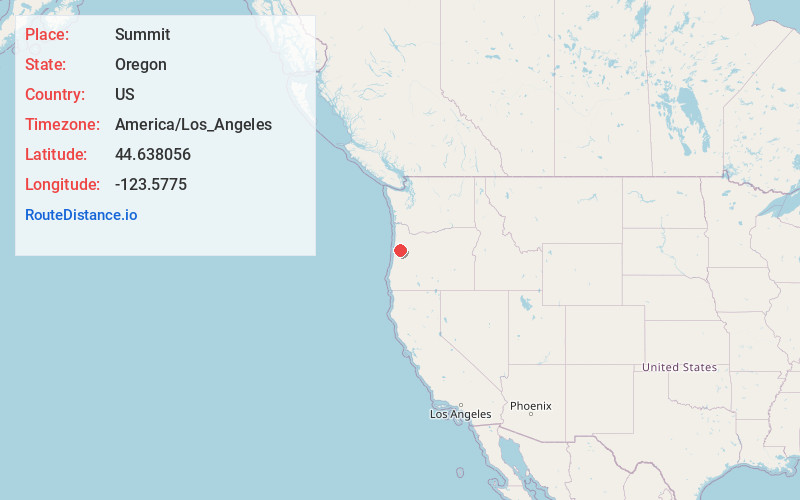
Full AddressSummit, OR 97326
-
Coordinates44.638056, -123.5775
-
LocationSummit , Oregon , US
-
TimezoneAmerica/Los_Angeles
-
Current Local Time11:00:49 PM America/Los_AngelesThursday, June 19, 2025
-
Page Views0
About Summit
Summit is an unincorporated community and census-designated place in Benton County, Oregon, United States. At the 2023 census population estimates, it had a population of 177. Summit lies on Oregon Route 180 northwest of Blodgett. Summit has an elevation of 718 feet.


Nearby Places
Found 10 places within 50 miles

Philomath
12.3 mi
19.8 km
Philomath, OR 97370
Get directions

Corvallis
16.3 mi
26.2 km
Corvallis, OR
Get directions

Falls City
17.2 mi
27.7 km
Falls City, OR 97344
Get directions

Toledo
17.8 mi
28.6 km
Toledo, OR
Get directions

Siletz
17.8 mi
28.6 km
Siletz, OR 97380
Get directions

Adair Village
17.8 mi
28.6 km
Adair Village, OR 97330
Get directions

Monmouth
22.3 mi
35.9 km
Monmouth, OR
Get directions

Albany
23.2 mi
37.3 km
Albany, OR
Get directions

Dallas
23.3 mi
37.5 km
Dallas, OR 97338
Get directions

Newport
23.4 mi
37.7 km
Newport, OR
Get directions
Location Links
Local Weather
Weather Information
Coming soon!
Location Map
Static map view of Summit, Oregon
Browse Places by Distance
Places within specific distances from Summit
Short Distances
Long Distances
Click any distance to see all places within that range from Summit. Distances shown in miles (1 mile ≈ 1.61 kilometers).