Distance to Sumner, Florida

Calculating Your Route
Just a moment while we process your request...
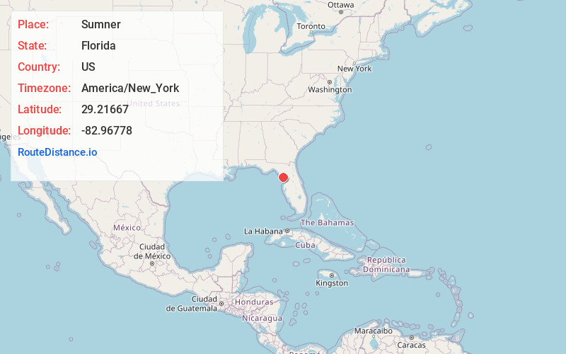
Location Information
-
Full AddressSumner, FL 32625
-
Coordinates29.21667, -82.96778
-
LocationSumner , Florida , US
-
TimezoneAmerica/New_York
-
Current Local Time1:14:44 AM America/New_YorkFriday, June 20, 2025
-
Page Views0
About Sumner
Sumner is an unincorporated community in Levy County, Florida, United States. It is located on State Road 24, approximately 1 mile southwest of Rosewood and 8 miles northeast of Cedar Key.
Nearby Places
Found 10 places within 50 miles

Rosewood
2.6 mi
4.2 km
Rosewood, FL 32625
Get directions

Cedar Key
6.8 mi
10.9 km
Cedar Key, FL 32625
Get directions

Vista
12.1 mi
19.5 km
Vista, FL 32680
Get directions
Ellzey
12.4 mi
20.0 km
Ellzey, FL 32626
Get directions

Suwannee
13.2 mi
21.2 km
Suwannee, FL 32692
Get directions

Otter Creek
14.0 mi
22.5 km
Otter Creek, FL 32626
Get directions

Gulf Hammock
14.9 mi
24.0 km
Gulf Hammock, FL 32668
Get directions

Shired Island
18.9 mi
30.4 km
Shired Island, FL
Get directions
Port Inglis
19.8 mi
31.9 km
Port Inglis, Yankeetown, FL 34449
Get directions

Chiefland
19.8 mi
31.9 km
Chiefland, FL 32626
Get directions
Location Links
Local Weather
Weather Information
Coming soon!
Location Map
Static map view of Sumner, Florida
Browse Places by Distance
Places within specific distances from Sumner
Short Distances
Long Distances
Click any distance to see all places within that range from Sumner. Distances shown in miles (1 mile ≈ 1.61 kilometers).