Distance to Sumner Hill, California

Calculating Your Route
Just a moment while we process your request...
Location Information
-
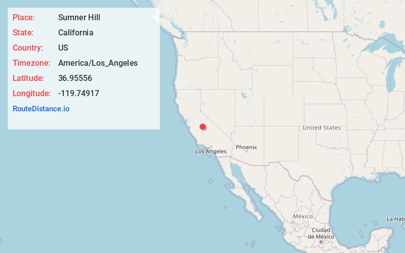
Full AddressSumner Hill, CA 93636
-
Coordinates36.95556, -119.74917
-
LocationSumner Hill , California , US
-
TimezoneAmerica/Los_Angeles
-
Current Local Time12:40:07 PM America/Los_AngelesMonday, June 2, 2025
-
Page Views0
About Sumner Hill
Sumner Hill is an unincorporated community in Madera County, California. Lying at an elevation of 535 feet, it is 6+1⁄2 miles north of Woodland Park in Fresno. It was created in 1985 as a 49-lot subdivision on a bluff on the eastern section of Peck Ranch, on the Madera County side of the San Joaquin River.
Nearby Places
Found 10 places within 50 miles

Friant
3.0 mi
4.8 km
Friant, CA 93626
Get directions

Central California
3.3 mi
5.3 km
Central California, CA
Get directions

Gordon
4.2 mi
6.8 km
Gordon, CA 93619
Get directions

Millerton Lake
4.7 mi
7.6 km
Millerton Lake, California 93626
Get directions
Fort Washington
5.4 mi
8.7 km
Fort Washington, CA 93720
Get directions
Indian Springs
6.7 mi
10.8 km
Indian Springs, CA 93626
Get directions

Madera Ranchos
7.3 mi
11.7 km
Madera Ranchos, CA 93636
Get directions

Clovis
9.4 mi
15.1 km
Clovis, CA
Get directions
Old Fig Garden
11.4 mi
18.3 km
Old Fig Garden, CA
Get directions
Tarpey Village
11.5 mi
18.5 km
Tarpey Village, CA
Get directions
Location Links
Local Weather
Weather Information
Coming soon!
Location Map
Static map view of Sumner Hill, California
Browse Places by Distance
Places within specific distances from Sumner Hill
Short Distances
Long Distances
Click any distance to see all places within that range from Sumner Hill. Distances shown in miles (1 mile ≈ 1.61 kilometers).